


4.8 km | 6.2 km-effort
Passau: Discover the best trails: 11 on foot and 2 walking. All these trails, routes and outdoor activities are available in our SityTrail applications for smartphones and tablets.
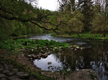
On foot


• Trail created by Bayerischer Waldverein Sektion Passau. Symbol: weiße 11 auf rotem Kreis
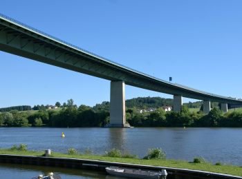
On foot
• Trail created by Bayerischer Wald-Verein e.V. Sektion Passau.
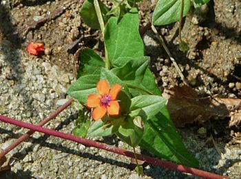
On foot
• Trail created by Bayerischer Wald-Verein e.V. Sektion Passau.
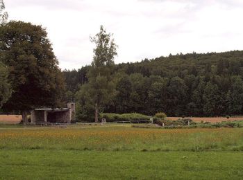
On foot
• Trail created by Bayerischer Waldverein e.V. Sektion Passau. Symbol: weisse 17 auf gruenem Grund
On foot
• Trail created by Bayerischer Waldverein - Sektion Passau. Symbol: weiße 22 auf blauem Quadrat
On foot
• Trail created by Bayerischer Waldverein -Sektion Passau. Symbol: weiße 21 auf blauem Quadrat
On foot
• Trail created by Bayerischer Waldverein e.V. Sektion Passau. Symbol: weiße 3 auf rotem Kreis
On foot
• Trail created by Bayerischer Wald-Verein e.V. Sektion Passau. Symbol: Weiße 2 auf rotem Kreis
On foot
• Trail created by Bayerischer Wald-Verein e.V- Sektion Passau. Symbol: Weiße 3 auf rotem Kreis
On foot

On foot
• Trail created by Bayerischer Waldverein e.V. Sektion Passau. Symbol: weiße 2 auf rotem Kreis

Walking
Walking
13 trails displayed on 13
FREE GPS app for hiking
 SityTrail
IGN / Geographical institutes
SityTrail World
The world is yours!