


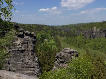
11.1 km | 14.4 km-effort
Sächsische Schweiz-Osterzgebirge: Discover the best trails: 104 on foot, 11 walking and 1 running. All these trails, routes and outdoor activities are available in our SityTrail applications for smartphones and tablets.

On foot


• noch detailierter Verlauf korrigieren

On foot
• Fragment, End- und Zielpunkt unklar
On foot
• Symbol: Grüner Punkt auf weißem Grund
On foot
• Symbol: Grüner Punkt auf weißem Grund

On foot
• Trail created by Freibadverein Goßdorf.
On foot
• Symbol: neu grüne 4 - alt: Grüne Tanne im grünen Ring auf weißem Grund Website: https://www.kleinnaundorf.de/auf-sc...
On foot
• bluepoint
On foot
• Blauer Strich Symbol: Blauer Strich auf weißem Grund

On foot
• Symbol: Gelber Punkt auf weißem Grund

On foot
• Symbol: Grüner Punkt auf weißem Grund
On foot
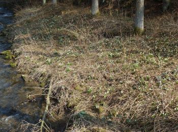
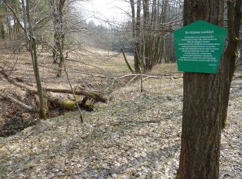
• Symbol: Märzenbecher
On foot
• von Geisingberg nach Geising unklar - müsste über Erbstollen in Geising führen Symbol: Grüner Balken auf weißem Grund
On foot
• Trail created by Uhrentechnische Lehrschau Hennig e. V.. Symbol: Grüner Rückstrich auf weißem Grund
On foot
• Symbol: Grüner Punkt auf weißem Grund
On foot
• Trail created by Gemeinde Schmiedberg. Symbol: Grüner Balken auf weißem Grund
On foot
• Trail created by Gemeinde Schmiedberg. Symbol: Grüner Balken auf weißem Grund
On foot
• Trail created by Gemeinde Schmiedberg. Website: https://www.schmiedeberg.net/inhalte/schmiedeberg/_inhalt/tourismu...
On foot
• Symbol: Gelber Strich auf weißem Grund
On foot
• Symbol: Grüner Strich auf weißem Grund
On foot
• Symbol: Märzenbecher
20 trails displayed on 116
FREE GPS app for hiking
 SityTrail
IGN / Geographical institutes
SityTrail World
The world is yours!