


23 km | 26 km-effort
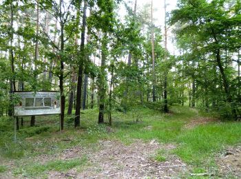
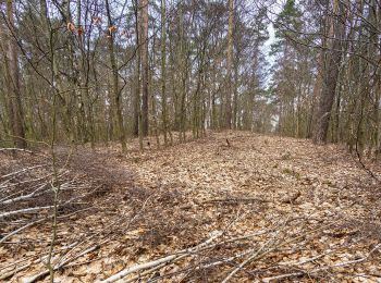
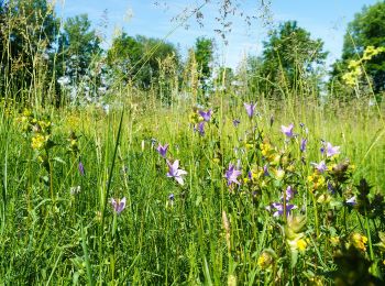
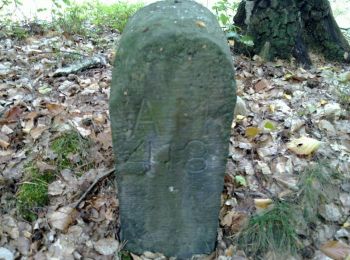
Dahlen: Discover the best trails: 10 on foot and 1 walking. All these trails, routes and outdoor activities are available in our SityTrail applications for smartphones and tablets.
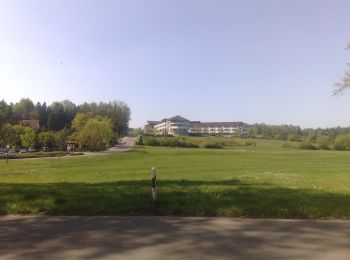
On foot


• Symbol: Roter Balken auf weißem Grund
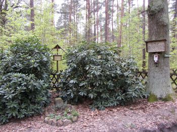
On foot
• Symbol: Grüner Balken auf weißem Grund
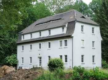
On foot
• Symbol: Grüner Balken auf weißem Grund
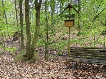
On foot
• Symbol: Roter Punkt auf weißem Grund
On foot
• Symbol: Grüner Punkt auf weißem Grund
On foot
• Symbol: Gelber Punkt auf weißem Grund
On foot
• Symbol: Roter Punkt auf weißem Grund
On foot
• Symbol: Roter Balken auf weißem Grund
On foot
• Symbol: Grüner Balken auf weißem Grund
On foot
• Symbol: Roter Balken auf weißem Grund

Walking
• More information on GPStracks.nl : http://www.gpstracks.nl
11 trails displayed on 11
FREE GPS app for hiking
 SityTrail
IGN / Geographical institutes
SityTrail World
The world is yours!