


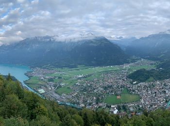
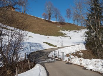
18.1 km | 33 km-effort
Luzern: Discover the best trails: 234 on foot and 21 walking. All these trails, routes and outdoor activities are available in our SityTrail applications for smartphones and tablets.
On foot


• Anspruch: sehr schwierig ✔︎ Aufstieg: 1029 m ✔︎ Wandern mit Einkehrmöglichkeit. Größtes Outdoorportal im Alpenraum! ...
On foot
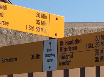
• Symbol: gelbe Raute
On foot
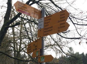
• Symbol: gelber Rhombus
On foot
• Symbol: gelbe Raute
On foot
• Trail created by Luzerner Wanderwege. Symbol: gelber Rhombus
On foot
• Trail created by Luzerner Wanderwege. Udligenswil - Chli Äbnet Symbol: gelber Rhombus

On foot
• Trail created by Luzerner Wanderwege. Gisikon Root - Perlen Symbol: gelber Rhombus
On foot
• Trail created by Luzerner Wanderwege. Buchrain - Root Symbol: gelber Rhombus
On foot
• Trail created by Luzerner Wanderwege. Luzern - Talacheri Symbol: gelber Rhombus
On foot
• Luswald - Obstaldenegg Symbol: gelber Rhombus
On foot
• Escholzmatt - Gmeinwerch Symbol: gelber Rhombus
On foot
• Turner - Escholzmatt Symbol: gelber Rhombus
On foot
• Escholzmatt - Turner Symbol: gelber Rhombus
On foot
• Luswald - Bodenmatt Symbol: gelber Rhombus
On foot
• Schloss Heidegg - Kleinwangen Symbol: gelber Diamant

On foot
• Stäfeli - Wassermoos Symbol: gelber Rhombus
On foot
• Wittenschwändi - Schwandacher Symbol: gelber Diamant
On foot
• Rengg - Ännigen Symbol: gelber Rhombus
On foot
• Obere Stalde - Willisau Symbol: gelber Rhombus
On foot
• Trail created by Luzerner Wanderwege. Neuenkirch - Hellbühl Symbol: gelber Diamant
20 trails displayed on 255
FREE GPS app for hiking
 SityTrail
IGN / Geographical institutes
SityTrail World
The world is yours!