


3.4 km | 4.3 km-effort
Surses: Discover the best trails: 6 on foot and 2 walking. All these trails, routes and outdoor activities are available in our SityTrail applications for smartphones and tablets.
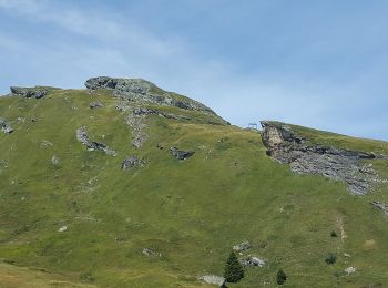
On foot


• Symbol: weiss-rot-weiss
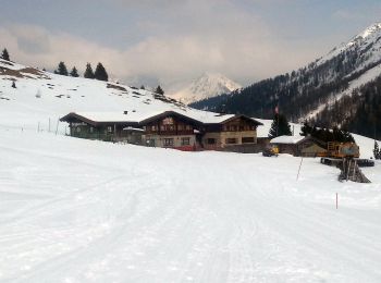
On foot
• Symbol: weiss-rot-weiss
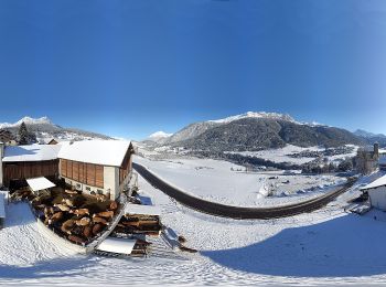
On foot
• Symbol: weiss-rot-weiss
On foot
• Club Alpino Italiano Sezione di SEREGNO

On foot
• Trail created by BAW Bündner Wanderwege. Symbol: weiss-rot-weiss
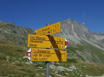
On foot
• Pass da Sett-Maroz Dora Symbol: weiss-rot-weiss

Walking
Walking
•
8 trails displayed on 8
FREE GPS app for hiking
 SityTrail
IGN / Geographical institutes
SityTrail World
The world is yours!