


11.5 km | 19.5 km-effort
Valais/Wallis: Discover the best trails: 113 on foot, 1060 walking, 270 nordic walking, 30 running and 16 trail. All these trails, routes and outdoor activities are available in our SityTrail applications for smartphones and tablets.
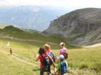
Walking


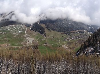
• Start at top of cable train St LucL
Walking
• Randonnée au lac Cleuson jusqu'à la cabane St Laurent en partant de la station de ski de Siviez. Je comptais monter ...
Walking
•
Walking
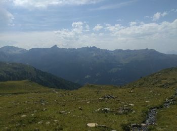
• Start at top of cable car Grimentz Sorebois
Walking

Walking
•
Walking
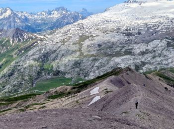
On foot
• Trail created by Obergoms Tourismus AG.
On foot
• Trail created by Valrando.
On foot
• Trail created by Valrando.
On foot
• Miex-Lac Tanay (via Prélagine) Symbol: Gelbe Raute
On foot
• Albinen-Leuk Station Symbol: Gelbe Raute
On foot
• Symbol: losange jaune
On foot
• Symbol: losange jaune
On foot
• Trail created by Valrando.
On foot
• Trail created by Valrando.
On foot
• Symbol: weiss-rot-weiss
On foot
• Trail created by Salvan - Randonnées thématiques.
On foot
• Symbol: gelber Diamant (waagrecht)
On foot
• Symbol: gelber Diamant (waagrecht)
20 trails displayed on 1489
FREE GPS app for hiking
 SityTrail
IGN / Geographical institutes
SityTrail World
The world is yours!