


12.6 km | 14.3 km-effort
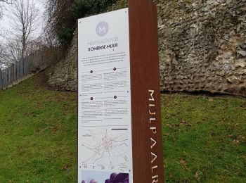
Tongeren: Discover the best trails: 42 on foot and 106 walking. All these trails, routes and outdoor activities are available in our SityTrail applications for smartphones and tablets.

Walking


Walking
Walking
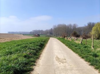
On foot
• Trail created by Stad Tongeren. Symbol: triangle
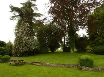
On foot
• Trail created by Stad Tongeren. Symbol: triangle
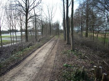
On foot
• Trail created by Stad Tongeren. Symbol: triangle
On foot
• Trail created by Stad Tongeren. Symbol: triangle

On foot
• Trail created by Stad Tongeren. Symbol: triangle
On foot
• Trail created by Stad Tongeren. Symbol: triangle
On foot
• Trail created by Stad Tongeren. Symbol: triangle
On foot
• Trail created by Stad Tongeren.
On foot
• Trail created by Stad Tongeren.
On foot
• Trail created by Stad Tongeren.
On foot
• Trail created by Regionaal Landschap Haspengouw en Voeren. Symbol: arrow

On foot
• Trail created by Regionaal Landschap Haspengouw en Voeren. Symbol: arrow
On foot
• Symbol: aardgas

On foot
• Trail created by Regionaal Landschap Haspengouw en Voeren. Symbol: arrow
On foot
• Trail created by Natuurpunt. Symbol: square
Walking

Walking
20 trails displayed on 148
FREE GPS app for hiking
 SityTrail
IGN / Geographical institutes
SityTrail World
The world is yours!