


5.4 km | 6.7 km-effort
Riemst: Discover the best trails: 8 on foot, 109 walking and 2 nordic walking. All these trails, routes and outdoor activities are available in our SityTrail applications for smartphones and tablets.
Walking


Walking
Walking

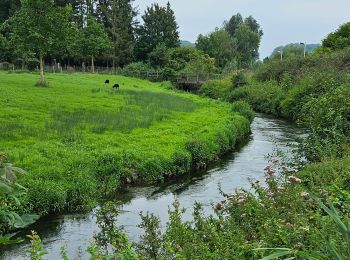
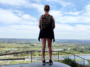
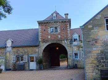
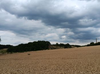
On foot
Walking
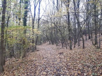
On foot
• Trail created by Regionaal Landschap Haspengouw en Voeren. Symbol: arrow
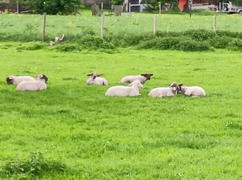
On foot
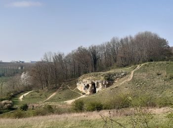
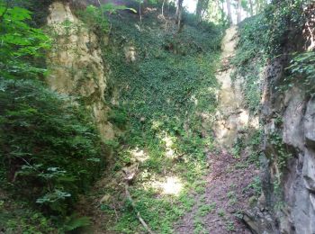
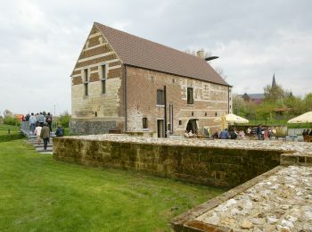
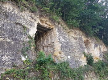
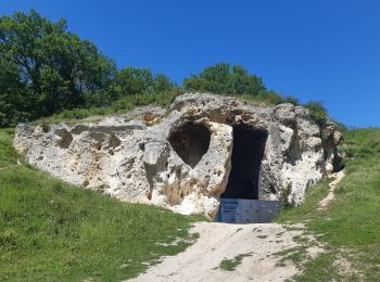
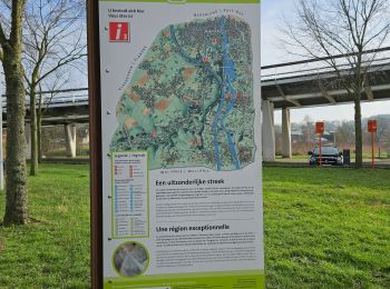
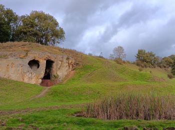
• Het kalkmassief van de Sint-Pietersberg ligt op de grens van Nederland, Vlaanderen en Wallonië. Dit is een unieke str...
On foot
• Het kalkmassief van de Sint-Pietersberg ligt op de grens van Nederland, Vlaanderen en Wallonië. Dit is een unieke str...
On foot
• Trail created by Orchis.
Walking

Walking
• More information on : http://www.wandelgidszuidlimburg.com
Walking
Walking
Walking
Walking
Walking
Walking
Walking
Walking
Walking
20 trails displayed on 119
FREE GPS app for hiking
 SityTrail
IGN / Geographical institutes
SityTrail World
The world is yours!