


10.1 km | 13.3 km-effort
Jalhay: Discover the best trails: 69 on foot, 716 walking, 43 nordic walking, 66 running and 25 trail. All these trails, routes and outdoor activities are available in our SityTrail applications for smartphones and tablets.

Walking


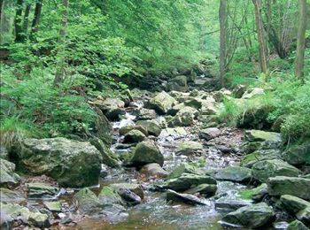
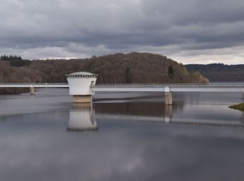
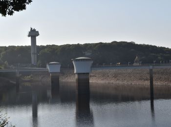
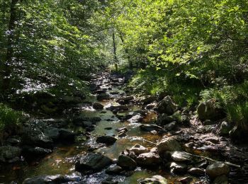
• Au pied du plateau des Hautes Fagnes La balade des ruisseaux Avertissement : le long de la Hoëgne, du ruisseau de B...
Walking
• Avertissement : le long de la Hoëgne, du ruisseau de Bilisse et de la Sawe, les racines, les gros blocs de pierre e...
Walking

Walking
Walking
Walking
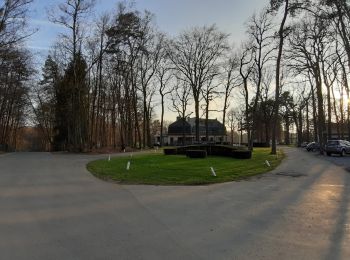
• Infos pratiques Balisage : suivez les rectangles jaunes ensuite les croix jaunes Départ : Eglise de Jalhay Adresse :...
Walking
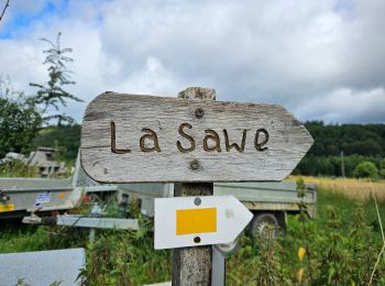
• BALADE 56 : Solwaster - Sawe Infos pratiques Balisage: rectangles jaunes Distance: 12 km Durée: 2h /3h Départ : ...
Walking
Running
Walking

Trail
• To get the latest Extratrail® information and up-to-date GPX tracks, you can visit the Extratrail® website directly: ...

Walking
• The easiest stage of the hike. However, don't hike with a full backpack in order to make it easier for you to climb t...

Walking
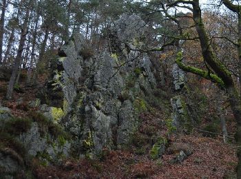
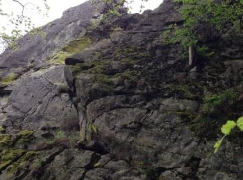
• From the start, a path takes you into the Statte valley where you will discover a world of legends such as the boulde...
Walking
Walking
Walking
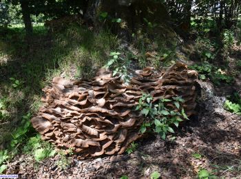
• bucolique

Walking
• Au pied du plateau des Hautes Fagnes La balade des ruisseaux Avertissement : le long de la Hoëgne, du ruisseau de B...
Walking
•

On foot
• Balisage: rectangles jaunes Distance: 7km Départ : Eglise de Solwaster Adresse: Solwaster 14, 4845 JALHAY Coordonné...
Walking
20 trails displayed on 918
FREE GPS app for hiking
 SityTrail
IGN / Geographical institutes
SityTrail World
The world is yours!