![](/images/other/stat-length.png)
- Trails
- On foot
- Austria
- Tyrol
- Bezirk Innsbruck-Land
- Gemeinde Rinn
Gemeinde Rinn, Bezirk Innsbruck-Land, On foot: Best trails, routes and walks
Gemeinde Rinn: Discover the best trails: 5 on foot. All these trails, routes and outdoor activities are available in our SityTrail applications for smartphones and tablets.
The best trails (5)
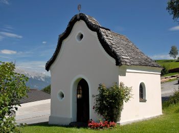
![Trail On foot Gemeinde Rinn - Hasental-Trail - Photo](https://media.geolcdn.com/t/350/260/2ef403ba-f96e-4e77-a8e7-6adba28f9e16.jpeg&format=jpg&maxdim=2)
![On foot On foot](https://static1.geolcdn.com/sitytour/trail-icons/100.png)
Km
On foot
![](/images/other/stat-length.png)
![](https://static1.geolcdn.com/siteimages/upload/files/1508320355ic_sort_den_pos_24dp.png)
![](https://static1.geolcdn.com/siteimages/upload/files/1508320355ic_sort_den_neg_24dp.png)
![](https://static1.geolcdn.com/siteimages/upload/files/16400158638029165_repeat_loop_refresh_sync_direction_icon.png)
• Website: https://www.innsbruck.info/wandern/wandern/wanderungen/touren/hasental-trail-38-1.html
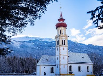
![Trail On foot Gemeinde Rinn - Rundwanderweg Poltental - Photo](https://media.geolcdn.com/t/350/260/51a02d20-5582-44b5-b69e-1765736a126e.jpeg&format=jpg&maxdim=2)
![On foot On foot](https://static1.geolcdn.com/sitytour/trail-icons/100.png)
Km
On foot
![](/images/other/stat-length.png)
![](https://static1.geolcdn.com/siteimages/upload/files/1508320355ic_sort_den_pos_24dp.png)
![](https://static1.geolcdn.com/siteimages/upload/files/1508320355ic_sort_den_neg_24dp.png)
![](https://static1.geolcdn.com/siteimages/upload/files/16400158638029165_repeat_loop_refresh_sync_direction_icon.png)
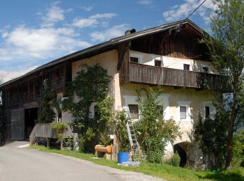
![Trail On foot Gemeinde Rinn - Rundwanderweg Hasental - Photo](https://media.geolcdn.com/t/350/260/27dfb8ee-3ee4-40ad-a10e-f6085849f734.jpeg&format=jpg&maxdim=2)
![On foot On foot](https://static1.geolcdn.com/sitytour/trail-icons/100.png)
Km
On foot
![](/images/other/stat-length.png)
![](https://static1.geolcdn.com/siteimages/upload/files/1508320355ic_sort_den_pos_24dp.png)
![](https://static1.geolcdn.com/siteimages/upload/files/1508320355ic_sort_den_neg_24dp.png)
![](https://static1.geolcdn.com/siteimages/upload/files/16400158638029165_repeat_loop_refresh_sync_direction_icon.png)
![Trail On foot Gemeinde Rinn - Grafen-Schleife - Photo](https://media.geolcdn.com/t/350/260/51a02d20-5582-44b5-b69e-1765736a126e.jpeg&format=jpg&maxdim=2)
![On foot On foot](https://static1.geolcdn.com/sitytour/trail-icons/100.png)
Km
On foot
![](/images/other/stat-length.png)
![](https://static1.geolcdn.com/siteimages/upload/files/1508320355ic_sort_den_pos_24dp.png)
![](https://static1.geolcdn.com/siteimages/upload/files/1508320355ic_sort_den_neg_24dp.png)
![](https://static1.geolcdn.com/siteimages/upload/files/16400158638029165_repeat_loop_refresh_sync_direction_icon.png)
![Trail On foot Gemeinde Rinn - Marterl-Runde - Photo](https://media.geolcdn.com/t/350/260/c199f871-f695-4628-b90d-b44001345d7d.jpeg&format=jpg&maxdim=2)
![On foot On foot](https://static1.geolcdn.com/sitytour/trail-icons/100.png)
Km
On foot
![](/images/other/stat-length.png)
![](https://static1.geolcdn.com/siteimages/upload/files/1508320355ic_sort_den_pos_24dp.png)
![](https://static1.geolcdn.com/siteimages/upload/files/1508320355ic_sort_den_neg_24dp.png)
![](https://static1.geolcdn.com/siteimages/upload/files/16400158638029165_repeat_loop_refresh_sync_direction_icon.png)
5 trails displayed on 5
FREE GPS app for hiking