


4.7 km | 6.1 km-effort
Bezirk Güssing: Discover the best trails: 18 on foot. All these trails, routes and outdoor activities are available in our SityTrail applications for smartphones and tablets.
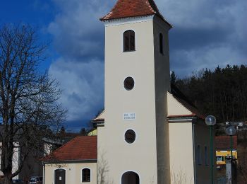
On foot


• Trail created by Tourismus Südburgenland.
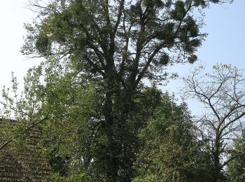
On foot
• Trail created by Tourismus Südburgenland.
On foot
• Trail created by Tourismus Südburgenland.
On foot
• Trail created by Runnersfun. Symbol: brauner Pfeil, W3
On foot
• Trail created by Runnersfun. Symbol: roter Pfeil, W7
On foot
• Trail created by Runnersfun. Symbol: hellblauer Pfeil, W9
On foot
• Trail created by Runnersfun. Symbol: grüner Pfeil, W11
On foot
• Trail created by Runnersfun. Symbol: blauer Pfeil, W2
On foot
• Trail created by Runnersfun. Symbol: roter Pfeil, W1
On foot
• Trail created by Runnersfun. Symbol: roter Pfeil, W8
On foot
On foot
On foot
• Trail created by Tourismus Südburgenland.
On foot
On foot
• Trail created by Tourismusverband Gererdorf.
On foot
• Trail created by Runnersfun. Symbol: grüner Pfeil, W12
On foot
• Trail created by Runnersfun. Symbol: orangener Pfeil, W5
On foot
• Trail created by Runnersfun. Symbol: blauer Pfeil, W4
18 trails displayed on 18
FREE GPS app for hiking
 SityTrail
IGN / Geographical institutes
SityTrail World
The world is yours!