


9.4 km | 10.8 km-effort
Gemeinde Pöttsching: Discover the best trails: 5 on foot. All these trails, routes and outdoor activities are available in our SityTrail applications for smartphones and tablets.
On foot


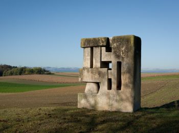
• Trail created by Naturfreunde Mattersburg. insgesamt sehr schlecht markiert Symbol: rot-weiss-rot 921
On foot
• Trail created by Tourismusverband Region Rosalia. Symbol: grünes Schild mit Pfeil
On foot
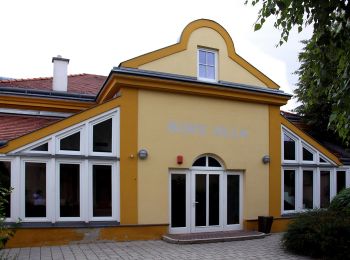
• Trail created by Gemeinde Pöttsching.
On foot
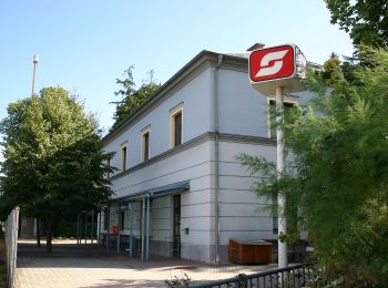
• Trail created by Gemeinde Pöttsching.

On foot
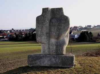
• Trail created by Naturfreunde Mattersburg. Symbol: rot-weiß-rot 920
5 trails displayed on 5
FREE GPS app for hiking
 SityTrail
IGN / Geographical institutes
SityTrail World
The world is yours!