


4.6 km | 4.9 km-effort
Donaustadt: Discover the best trails: 6 on foot and 1 walking. All these trails, routes and outdoor activities are available in our SityTrail applications for smartphones and tablets.
On foot


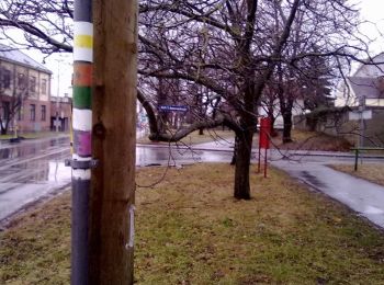
• osmc:symbol geändert damit auf Karte sichbar, vorher pink:white:pink_bar Symbol: weiß pink

On foot
• osmc:symbol geändert damit auf Karte sichbar, vorher pink:white:pink_bar Symbol: weiß pink
On foot

On foot

On foot

On foot

Walking
7 trails displayed on 7
FREE GPS app for hiking
 SityTrail
IGN / Geographical institutes
SityTrail World
The world is yours!