
Vienna, Austria, On foot: Best trails, routes and walks
Vienna: Discover the best trails: 31 on foot and 13 walking. All these trails, routes and outdoor activities are available in our SityTrail applications for smartphones and tablets.
The best trails (44)
Km
On foot


• Trail created by Naturfreunde.
Km
On foot


• Trail created by Österreichischer Astronomischer Verein.
Km
On foot


• Trail created by ÖTK-Klosterneuburg. Symbol: weiss-blau-weiss
Km
On foot


• Trail created by ÖTK-Klosterneuburg; Freunde des Kahlenbergerdorfes. another website: http://www.kahlenbergerdorf.at...
Km
On foot


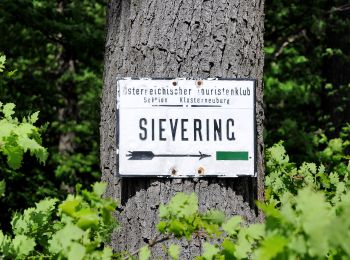
• Trail created by ÖTK-Klosterneuburg. Symbol: weiss-blau-weiss Website: https://www.oetk-klosterneuburg.at/index.ph...
Km
On foot


• Trail created by ÖTK-Klosterneuburg. Symbol: weiss-gruen-weiss Website: https://www.oetk-klosterneuburg.at/index.p...
Km
On foot


• Trail created by ÖTK-Klosterneuburg. Symbol: weiss-rot-weiss Website: https://www.oetk-klosterneuburg.at/index.php...
Km
On foot


• Trail created by ÖTK-Klosterneuburg. Symbol: weiss-blau-weiss Website: https://www.oetk-klosterneuburg.at/index.ph...
Km
On foot


• Trail created by ÖTK-Klosterneuburg. Symbol: weiss-gruen-weiss Website: https://www.oetk-klosterneuburg.at/index.p...
Km
On foot


• Trail created by ÖTK-Klosterneuburg. Symbol: weiss-blau-weiss Website: https://www.oetk-klosterneuburg.at/index.ph...

Km
On foot


• Trail created by ÖTK-Klosterneuburg. Symbol: weiss-blau-weiss Website: https://www.oetk-klosterneuburg.at/index.ph...
Km
On foot


• Symbol: ohne Markierung
Km
On foot


• Trail created by Österreichischer Touristenklub. Symbol: grüner, waagrechter Balken

Km
On foot


• Trail created by Stadt Wien (Forstamt). http://wiki.openstreetmap.org/index.php?title=WikiProject_Austria/Wanderwege
Km
On foot


• Trail created by Stadt Wien (Forstamt). http://wiki.openstreetmap.org/index.php?title=WikiProject_Austria/Wanderwege

Km
On foot


• Trail created by Stadt Wien (Forstamt). http://wiki.openstreetmap.org/index.php?title=WikiProject_Austria/Wanderwege
Km
On foot


• Trail created by Stadt Wien (Forstamt). http://wiki.openstreetmap.org/index.php?title=WikiProject_Austria/Wanderwege
Km
On foot


• osmc:symbol geändert damit auf Karte sichbar, vorher pink:white:pink_bar Symbol: weiß pink
Km
On foot


• osmc:symbol geändert damit auf Karte sichbar, vorher pink:white:pink_bar Symbol: weiß pink
Km
On foot


• Trail created by Stadt Wien (Forstamt). http://wiki.openstreetmap.org/index.php?title=WikiProject_Austria/Wanderwege...
20 trails displayed on 44
FREE GPS app for hiking


 SityTrail


