


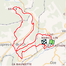


5,5 km | 10,3 km-effort

Les Hautes Alpes à découvrir ! GUIDE+


Kostenlosegpshiking-Anwendung
 SityTrail
IGN / Geografische Institute
SityTrail World
Die Welt öffnet sich für Sie
Tour Mountainbike von 27 km verfügbar auf Provence-Alpes-Côte d'Azur, Hochalpen, Veynes. Diese Tour wird von Camping Les Rives du Lac vorgeschlagen.
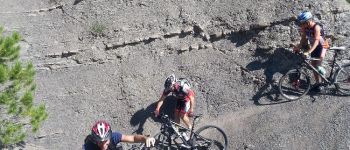
A nice circuit, with a long climb to the Col de Seille.
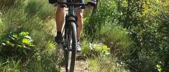
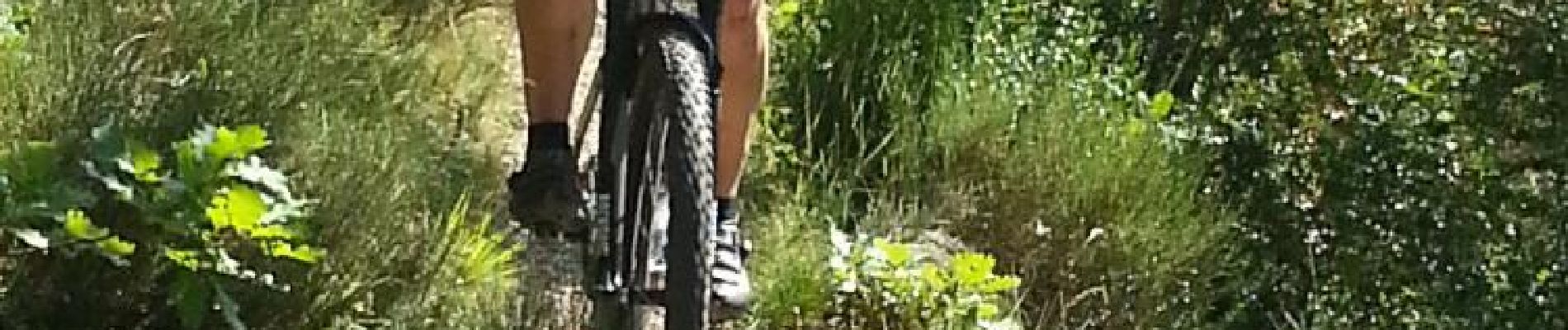
A first single at the beginning of the hike very playful, and a beautiful single during the descent of the pass.
If you still have energy, you can go back to the Eygals and do the single downhill on the lake then. (Take the VTT01 hike from the Col du Pignon).


Wandern

Mountainbike

Mountainbike

Mountainbike

Mountainbike

Mountainbike

Wandern

Wandern

Wandern
pour moi pas possible sans vttae! je me suis régalé superbes singles qui se méritent après de rudes montées surtout après Aspres!