


8,1 km | 16,2 km-effort
Veynes : Entdecken Sie die besten Touren : 62 zu Fuß und 80 mit dem Fahrrad oder Mountainbike. Alle diese Touren, Trails, Routen und Outdoor-Aktivitäten sind in unseren SityTrail-Apps für Smartphones und Tablets verfügbar.
Wandern


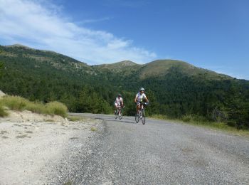
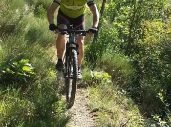
Mountainbike
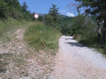
• 10 kms de chemins forestiers pour commencer le VTT. Très agréable, beaux points de vue. A faire également lors d’une ...
Mountainbike
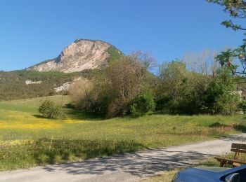
• Randonnée exigeante : comptez plus de 2 heures de montée depuis le camping pour accéder au sommet. Belle piste forest...
Mountainbike
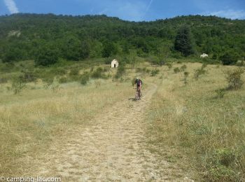
• Vous disposez de deux heures seulement et voulez vous amuser sur du Single track ? Ceci est la randonnée idéale ! En ...
Mountainbike
• Pour une première approche du VTT sur sentier, que les connaisseurs nomment désormais « single track » ou « single »,...
Mountainbike
• Randonnée facile adaptée aux débutants. Accès possible depuis le camping sans avoir à traverser la route départementale.
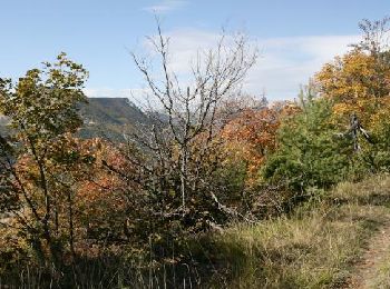
Wandern
• Agréable randonnée majoritairement en sous bois, qui traverse les 2 plateaux des Eygaux. Belle vue sur le Dévoluy, la...
Wandern
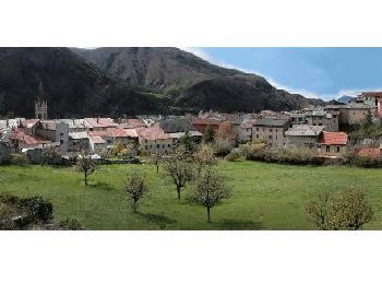
• Petite randonnée familiale qui vous permettra de découvrir la vieille ville de Veynes, le chemin Romain. Belle vue su...
Wandern
• Balade très agréable dans les alpages et en sous bois. Nous vous conseillons de monter en direction du col de la Sell...
Wandern
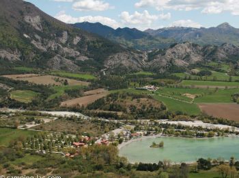
• Randonnée variée entre le plateau des Egarets et les alpages d’Enserre. Le départ est situé au niveau de la piscine ...
Wandern
• Plus longue que côté sud (R02), cette randonnée peut être faite en partant du camping. Belle montée en forêt à l’omb...
Laufen
• Trail emprunté lors du Cross Triathlon de Juin à Veynes. Très roulant avec juste une petite montée et surtout la trav...
Rennrad
Laufen
Rennrad
Rennrad
Rennrad
Rennrad
Mountainbike

Mountainbike
• Cette randonnée peut être faite dans les deux sens. Elle n’emprunte que de la piste (pas de single track), sauf quelq...
20 Angezeigte Touren bei 151
Kostenlosegpshiking-Anwendung
 SityTrail
IGN / Geografische Institute
SityTrail World
Die Welt öffnet sich für Sie