


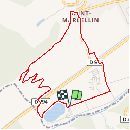


5,5 km | 10,3 km-effort

Les Hautes Alpes à découvrir ! GUIDE+


Kostenlosegpshiking-Anwendung
 SityTrail
IGN / Geografische Institute
SityTrail World
Die Welt öffnet sich für Sie
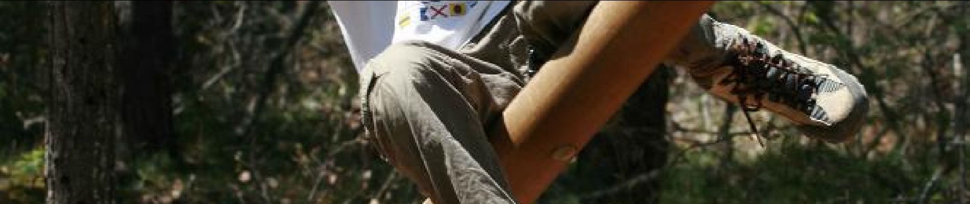
Tour Wandern von 5,5 km verfügbar auf Provence-Alpes-Côte d'Azur, Hochalpen, Veynes. Diese Tour wird von Camping Les Rives du Lac vorgeschlagen.
Test in English


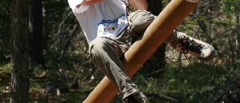
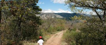
Wandern

Mountainbike

Mountainbike

Mountainbike

Mountainbike

Mountainbike

Wandern

Wandern

Wandern
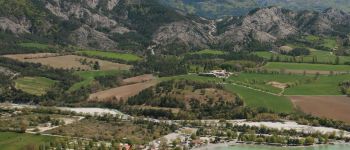
Nice and easy walk with a beautiful view on top
Randonnée agréable à faire en famille
A nice track. We've done this route with our 3 year old son. We needed round about 2:30h to complete.