


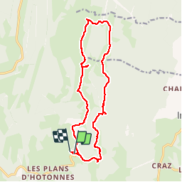

5,3 km | 7,1 km-effort


Benutzer


Kostenlosegpshiking-Anwendung
 SityTrail
IGN / Geografische Institute
SityTrail World
Die Welt öffnet sich für Sie
Tour Wandern von 16,2 km verfügbar auf Auvergne-Rhone-Alpen, Ain, Haut Valromey. Diese Tour wird von Michel_Martin vorgeschlagen.
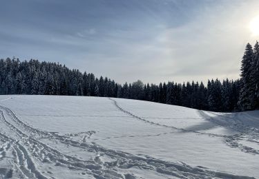
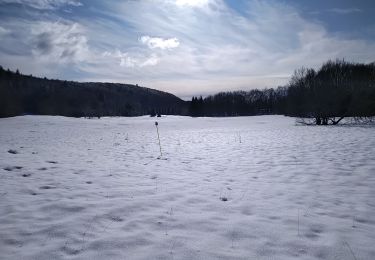
Départ les Bergonnes
Boucle par la ferme du retord
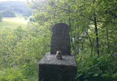
Passage par le panorama Beauregard
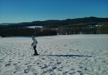
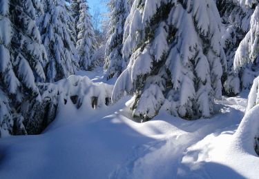
Schneeschuhwandern
Mountainbike

Mountainbike
Wandern
Wandern
Wandern

Schneeschuhwandern
Wandern
Wandern