


7,6 km | 9,6 km-effort
Haut Valromey : Entdecken Sie die besten Touren : 74 zu Fuß, 21 mit dem Fahrrad oder Mountainbike und 5 auf dem Pferderücken. Alle diese Touren, Trails, Routen und Outdoor-Aktivitäten sind in unseren SityTrail-Apps für Smartphones und Tablets verfügbar.
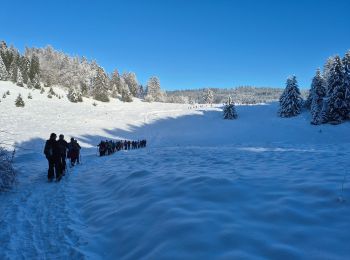
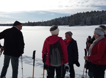
Schneeschuhwandern


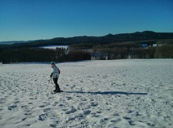
Schneeschuhwandern
• Lachat
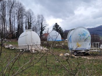
Mountainbike
Mountainbike
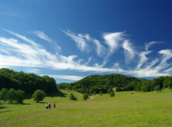
Wandern
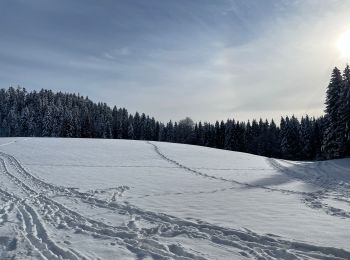
Schneeschuhwandern

Schneeschuhwandern
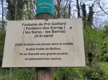
Wandern

Schneeschuhwandern

Wandern
Wandern
Wandern

Schneeschuhwandern
Wandern

Wandern
Schneeschuhwandern

Schneeschuhwandern
Schneeschuhwandern
Wandern

Schneeschuhwandern
• A travers bois
20 Angezeigte Touren bei 151
Kostenlosegpshiking-Anwendung
 SityTrail
IGN / Geografische Institute
SityTrail World
Die Welt öffnet sich für Sie