


20 km | 26 km-effort


Benutzer


Kostenlosegpshiking-Anwendung
 SityTrail
IGN / Geografische Institute
SityTrail World
Die Welt öffnet sich für Sie
Tour Wandern von 16 km verfügbar auf Okzitanien, Aude, Narbonne. Diese Tour wird von cbouttes vorgeschlagen.
http://www.randogps.net/randonnee-pedestre-gps-aude-11.php?num=182
Dist. à plat:16.5Km Durée estimée :04:30 Hrs
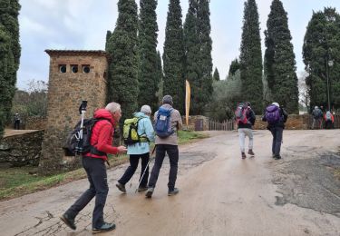
ABBAYE DE FONTFROIDE - LA VOIE DOMITIENNE
Départ randonnée : Depuis autoroute A9, prendre la sortie 38 (Narbonne-sud) puis suivre la direction de Lézignan-Corbières.
Depuis l'A61, sortie 25 (Lézignan) prendre la direction de Ferrals les Corbières (D106) puis Narbonne (D613).
parking gratuit à l'Abbaye.
Départ de la randonnée devant l'Abbaye, vous la contournerez pour emprunter la voie domitienne qui longe le ruisseau de Fontfroide.
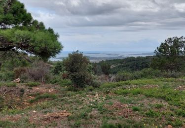
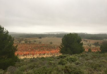
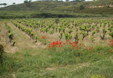
Vous continuerez dans le massif de Fontfroide en alternant les zones boisées et les découverts.
pas de difficulté particulière sur ce parcours.
Attention en période de chasse, il peut y avoir des battues.
Ne pas faire ce parcours en plein été, le risque d'incendie étant trop important.
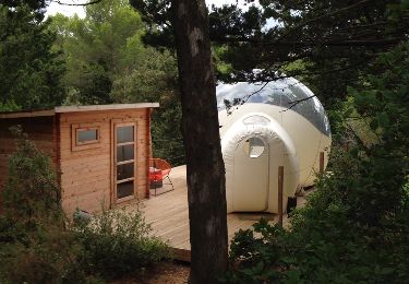
Andere Aktivitäten
Wandern

Wandern

Wandern
Wandern
Wandern
Wandern

Wandern