


15,5 km | 21 km-effort
Narbonne : Entdecken Sie die besten Touren : 88 zu Fuß und 63 mit dem Fahrrad oder Mountainbike. Alle diese Touren, Trails, Routen und Outdoor-Aktivitäten sind in unseren SityTrail-Apps für Smartphones und Tablets verfügbar.
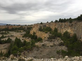
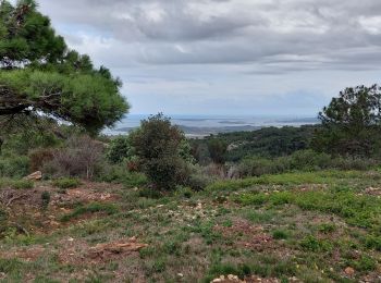
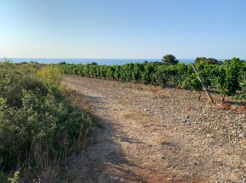
Wandern


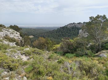
Wandern
Wandern
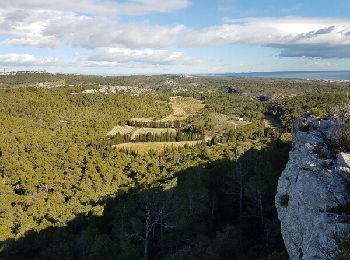
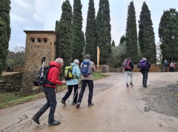
Wandern

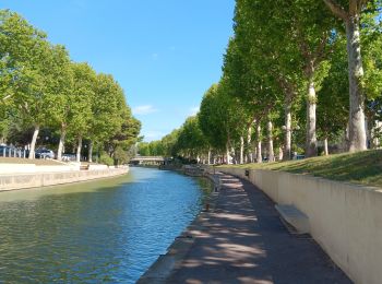
Zu Fuß

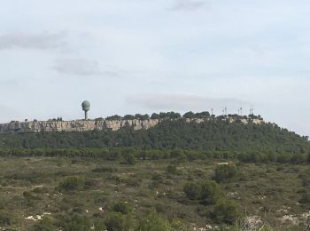
Wandern

Mountainbike

Wandern
Wandern
Wandern
Rennrad
Wandern
Wandern
Wandern
Wandern
Mountainbike
Mountainbike

Wandern
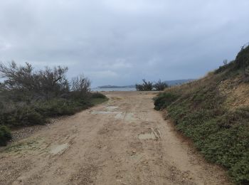
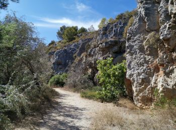
• Chemin de petites randonnée, rocailleux
Mountainbike
Mountainbike
20 Angezeigte Touren bei 168
Kostenlosegpshiking-Anwendung
 SityTrail
IGN / Geografische Institute
SityTrail World
Die Welt öffnet sich für Sie