9,4 km | 13,7 km-effort
Knocknacloghoge and Fancy Mtn
jaf299
Benutzer
Länge
13,1 km
Maximale Höhe
590 m
Positive Höhendifferenz
673 m
Km-Effort
22 km
Min. Höhe
208 m
Negative Höhendifferenz
672 m
Boucle
Ja
Erstellungsdatum :
2014-12-10 00:00:00.0
Letzte Änderung :
2014-12-10 00:00:00.0
--
Schwierigkeit : Unbekannt
Kostenlosegpshiking-Anwendung
Über SityTrail
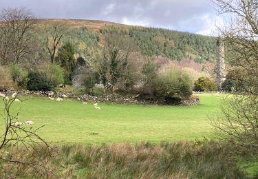
Tour Wandern von 13,1 km verfügbar auf Unbekannt, County Wicklow, The Municipal District of Wicklow. Diese Tour wird von jaf299 vorgeschlagen.
Ort
Land:
Ireland
Region :
Unbekannt
Abteilung/Provinz :
County Wicklow
Kommune :
The Municipal District of Wicklow
Standort:
Glendalough
Gehen Sie:(Dec)
Gehen Sie:(UTM)
680568 ; 5888750 (29U) N.
Kommentare
Touren in der Umgebung
Glendalough
Wandern
Medium
The Municipal District of Wicklow,
Unbekannt,
County Wicklow,
Ireland
2h 21min
Ja
Greystones à Bray variante
Wandern
Medium
The Municipal District of Greystones,
Unbekannt,
County Wicklow,
Ireland
11,2 km | 15 km-effort
2h 36min
Nein
Glendalough
Wandern
Medium
The Municipal District of Wicklow,
Unbekannt,
County Wicklow,
Ireland
9,6 km | 14 km-effort
2h 59min
Ja
w-ierland-wicklowway
Wandern
Sehr leicht
Unbekannt,
Unbekannt,
County Dublin,
Ireland
129 km | 184 km-effort
Unbekannt
Nein
Ticknock WL route 2014
Laufen
Schwierig
Unbekannt,
Unbekannt,
Unbekannt,
Ireland
8,2 km | 12,5 km-effort
Unbekannt
Nein
Willie Whelan
Andere Aktivitäten
Sehr leicht
The Municipal District of Wicklow,
Unbekannt,
County Wicklow,
Ireland
9,4 km | 15,3 km-effort
Unbekannt
Ja
Mountain Hike from Glendalough car park
Wandern
Sehr leicht
The Municipal District of Wicklow,
Unbekannt,
County Wicklow,
Ireland
17,2 km | 26 km-effort
6h 1min
Ja
The Sugarloaf
Wandern
Sehr leicht
Unbekannt,
Unbekannt,
Unbekannt,
Ireland
6,3 km | 11,5 km-effort
Unbekannt
Nein
The Brockaghs and St Kevins Road
Wandern
Sehr leicht
The Municipal District of Wicklow,
Unbekannt,
County Wicklow,
Ireland
16,7 km | 25 km-effort
Unbekannt
Ja