


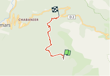

4,6 km | 9 km-effort


Benutzer


Kostenlosegpshiking-Anwendung
 SityTrail
IGN / Geografische Institute
SityTrail World
Die Welt öffnet sich für Sie
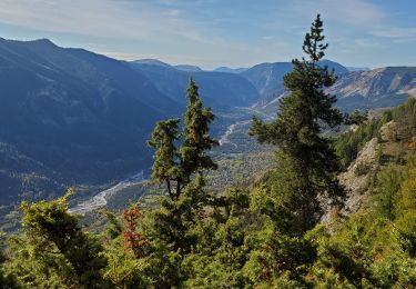
Tour Wandern von 5,6 km verfügbar auf Provence-Alpes-Côte d'Azur, Alpes-de-Haute-Provence, Colmars. Diese Tour wird von Dervalmarc vorgeschlagen.
Jolie rando . Traversée d'une des plus plus forêts des alpes du sud .Nombreuses fleurs au printemps. Compter une heure pour le retourretour;soit 11 kilometres aller retour


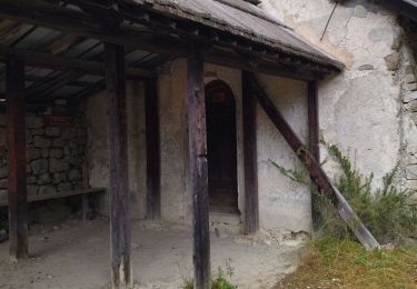
Wandern

Wandern
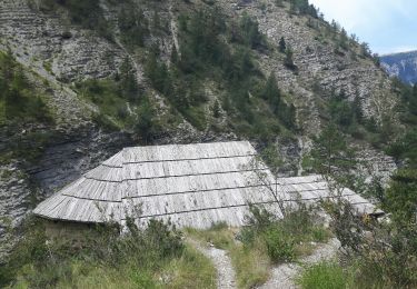
Wandern
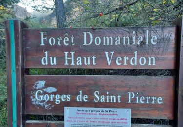
Wandern

Wandern
Wandern
Wandern
Wandern
Wandern