


18,8 km | 29 km-effort
Colmars : Entdecken Sie die besten Touren : 71 zu Fuß und 20 mit dem Fahrrad oder Mountainbike. Alle diese Touren, Trails, Routen und Outdoor-Aktivitäten sind in unseren SityTrail-Apps für Smartphones und Tablets verfügbar.
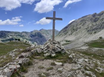
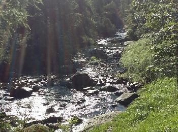
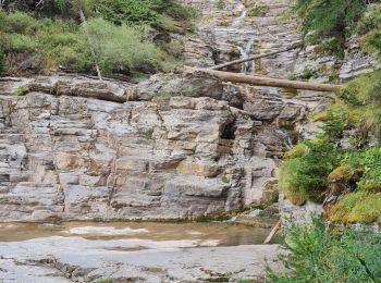
Wandern


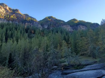
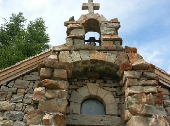
Wandern
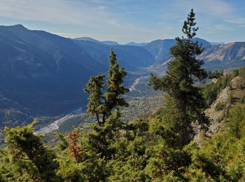
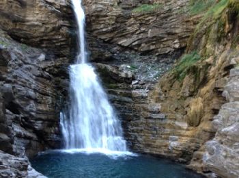
Wandern
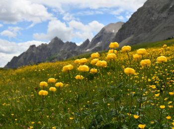
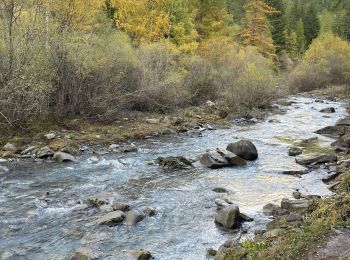
Wandern
Wandern
Wandern
Wandern
Wandern
Wandern
Wandern
Wandern
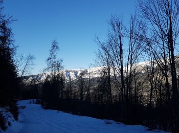
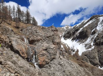
Schneeschuhwandern
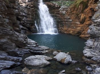
Wandern
• Privilégier un retour par les lacs de Lignin et la cabane de Bressange pour éviter le pierrier.

Wandern
• Jolie rando . Traversée d'une des plus plus forêts des alpes du sud .Nombreuses fleurs au printemps. Compter une heur...
Wandern
• magnifique. aller simple, ce n'est pas une boucle
Wandern
• Très facile sentier aménagé large
 17.57
17.57
sport
Wandern
Wandern
Wandern
20 Angezeigte Touren bei 102
Kostenlosegpshiking-Anwendung
 SityTrail
IGN / Geografische Institute
SityTrail World
Die Welt öffnet sich für Sie