


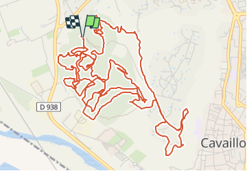

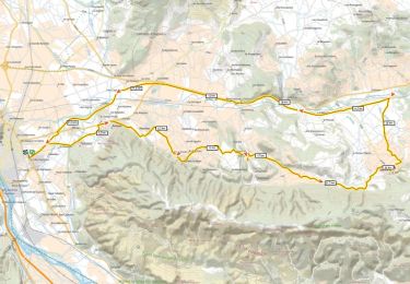
236 km | 285 km-effort


Benutzer


Kostenlosegpshiking-Anwendung
 SityTrail
IGN / Geografische Institute
SityTrail World
Die Welt öffnet sich für Sie
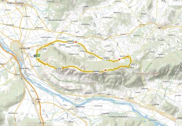
Tour Mountainbike von 13 km verfügbar auf Provence-Alpes-Côte d'Azur, Vaucluse, Cavaillon. Diese Tour wird von denel vorgeschlagen.
VTTAE assez technique
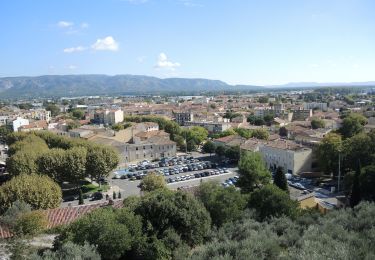
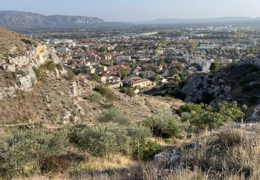
Fantastique vue et single dans la Colline saint Jacques au dessus de Cavaillon

Fahrrad

Fahrrad

Fahrrad
Wandern
Mountainbike
Wandern

Fahrrad
Rennrad
Mountainbike