


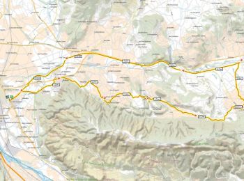
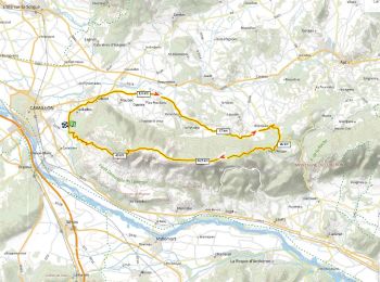
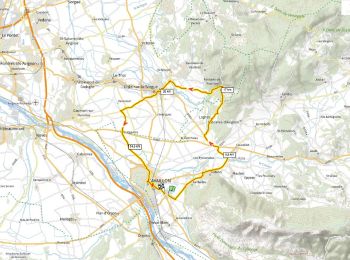
236 km | 285 km-effort
Cavaillon : Entdecken Sie die besten Touren : 46 zu Fuß und 28 mit dem Fahrrad oder Mountainbike. Alle diese Touren, Trails, Routen und Outdoor-Aktivitäten sind in unseren SityTrail-Apps für Smartphones und Tablets verfügbar.
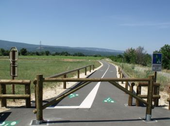
Fahrrad


Fahrrad
Fahrrad
Wandern
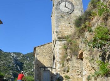
• Parking : devant l'OT Départ montée César de Bus à droite de l'OT
Mountainbike
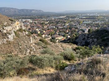
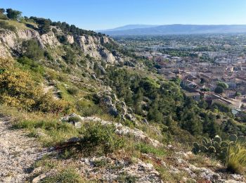
Wandern

Fahrrad
Rennrad
Mountainbike

Fahrrad
Fahrrad
Fahrrad
Pfad
Mountainbike

Wandern
Rennrad
Rennrad
Rennrad
Wandern
Rennrad
20 Angezeigte Touren bei 78
Kostenlosegpshiking-Anwendung
 SityTrail
IGN / Geografische Institute
SityTrail World
Die Welt öffnet sich für Sie