


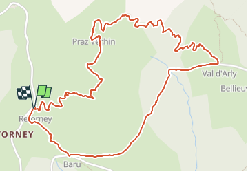

9,1 km | 24 km-effort


Benutzer


Kostenlosegpshiking-Anwendung
 SityTrail
IGN / Geografische Institute
SityTrail World
Die Welt öffnet sich für Sie
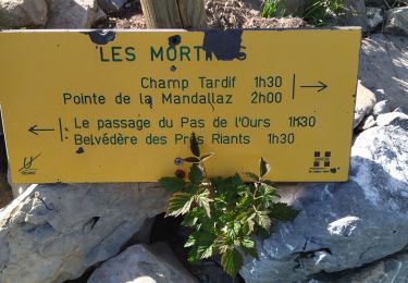
Tour Wandern von 3,6 km verfügbar auf Auvergne-Rhone-Alpen, Savoyen, Ugine. Diese Tour wird von christian4 vorgeschlagen.
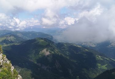
belle petite boucle avec une magnifique vue a 360° et un super panorama sur le mont blanc.
Framboise et Myrtille tout au long du Sentier.
bonne balade 😊
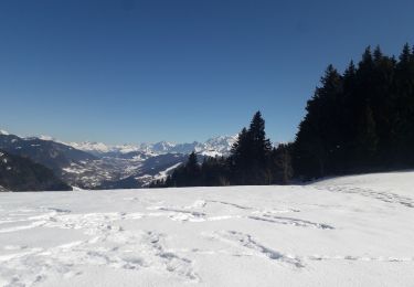
Skiwanderen

Wandern

Wandern
Wandern
Wandern
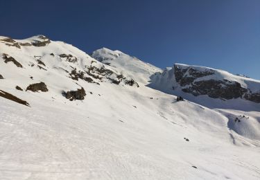
Schneeschuhwandern
Wandern
Klettersteig
Wandern