


7,8 km | 19,8 km-effort
Ugine : Entdecken Sie die besten Touren : 57 zu Fuß und 8 mit dem Fahrrad oder Mountainbike. Alle diese Touren, Trails, Routen und Outdoor-Aktivitäten sind in unseren SityTrail-Apps für Smartphones und Tablets verfügbar.
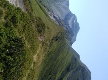
Wandern


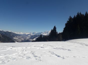
Schneeschuhwandern
Klettersteig

Wandern
Wandern
Wandern
Wandern

Schneeschuhwandern
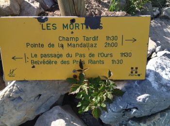
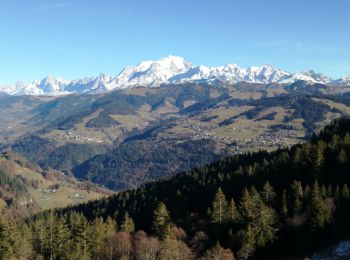
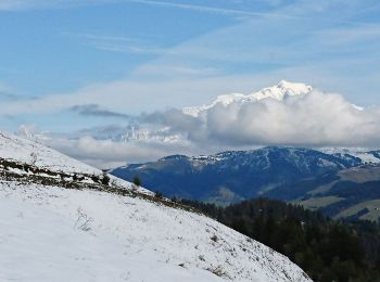
• Le Col de l''Arpettaz depuis Ugine
Wandern
Wandern
• Détails de la rando sur TraceGPS.com http://www.tracegps.com/fr/parcours/circuit1950.htm

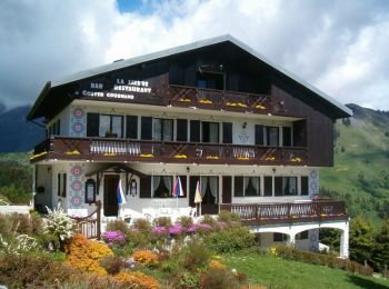
Auto
Wandern
Wandern
Wandern

Zu Fuß
Wandern
Wandern
Wandern

Fahrrad
• D'Ugine à Ugine - GPX Track
Nordic Walking
• Agréable
20 Angezeigte Touren bei 79
Kostenlosegpshiking-Anwendung
 SityTrail
IGN / Geografische Institute
SityTrail World
Die Welt öffnet sich für Sie