


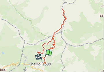

7,4 km | 12,1 km-effort


Benutzer


Kostenlosegpshiking-Anwendung
 SityTrail
IGN / Geografische Institute
SityTrail World
Die Welt öffnet sich für Sie
Tour Wandern von 21 km verfügbar auf Provence-Alpes-Côte d'Azur, Hochalpen, Saint-Michel-de-Chaillol. Diese Tour wird von c.gourme vorgeschlagen.
On peut raccourcir la rando en prenant sur le retour un sentier raide au point 2040.
Au départ nous sommes garés à un parking plus haut que la station Chaillol

Wandern

Wandern

Wandern

Wandern

Wandern

Wandern
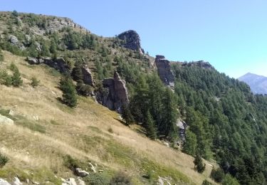
Wandern
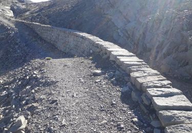
Wandern

Wandern