


16 km | 27 km-effort
Saint-Michel-de-Chaillol : Entdecken Sie die besten Touren : 77 zu Fuß und 4 mit dem Fahrrad oder Mountainbike. Alle diese Touren, Trails, Routen und Outdoor-Aktivitäten sind in unseren SityTrail-Apps für Smartphones und Tablets verfügbar.
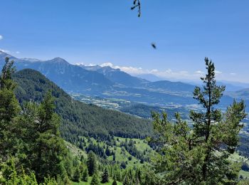
Wandern


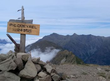
Wandern
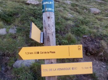
Wandern
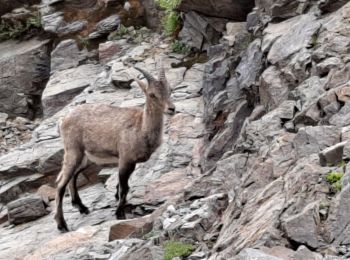
Wandern
Wandern

Wandern
Wandern
Wandern
Wandern
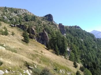
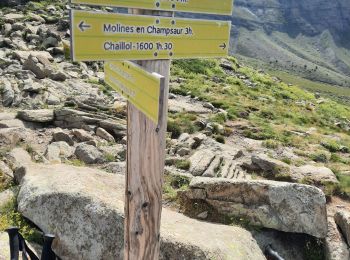
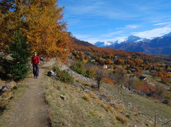
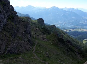
• Sentier du canal de Mal Cros, Lac de Barbeyroux, retour par la station de ski de Chaillol.

Wandern
Wandern
Wandern
Wandern
Wandern
Wandern
Wandern
Wandern
Wandern
Wandern
Wandern
20 Angezeigte Touren bei 91
Kostenlosegpshiking-Anwendung
 SityTrail
IGN / Geografische Institute
SityTrail World
Die Welt öffnet sich für Sie