


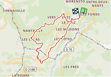

18,1 km | 28 km-effort


Benutzer


Kostenlosegpshiking-Anwendung
 SityTrail
IGN / Geografische Institute
SityTrail World
Die Welt öffnet sich für Sie
Tour Wandern von 9,3 km verfügbar auf Auvergne-Rhone-Alpen, Savoyen, Hauteluce. Diese Tour wird von rapako vorgeschlagen.
Se garer sous le cimetière de Hauteluce
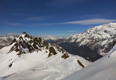
Une petite variante par rapport à la balade proposée par les Office de tourisme du Beaufortain pour minimiser un peu les parties bitumées, et apprécier encore un peu plus la vue sur le Massif du Mont Blanc sur le retour.

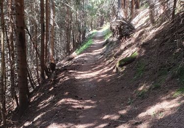
Wandern

Fahrrad
Skiwanderen

Skiwanderen

Wandern

Wandern
Mountainbike

Wandern
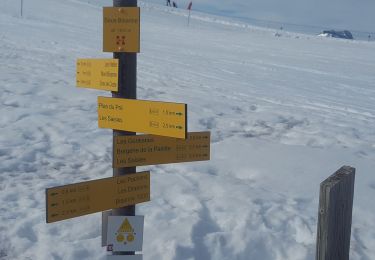
Schneeschuhwandern