


18,1 km | 28 km-effort
Hauteluce : Entdecken Sie die besten Touren : 174 zu Fuß, 50 mit dem Fahrrad oder Mountainbike und 2 auf dem Pferderücken. Alle diese Touren, Trails, Routen und Outdoor-Aktivitäten sind in unseren SityTrail-Apps für Smartphones und Tablets verfügbar.
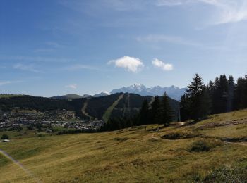
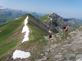
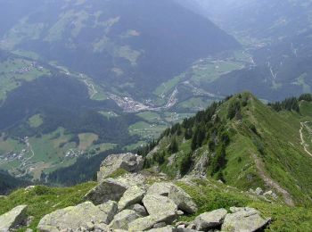
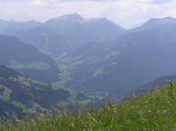
Wandern


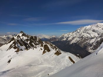
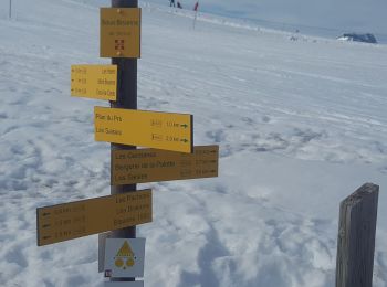
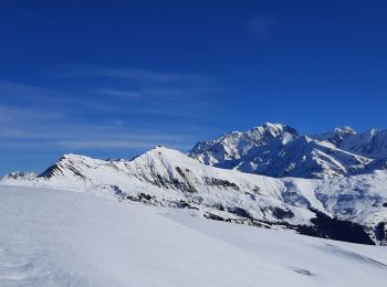
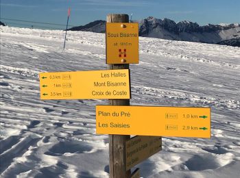
Skiwanderen
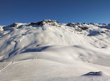
Skiwanderen
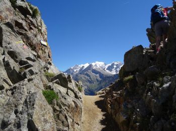
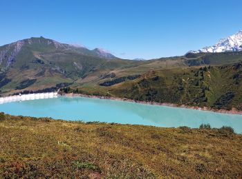
Wandern

Wandern
• Les 3 Grottes
Wandern
Mountainbike
Wandern
Wandern
Schneeschuhwandern
Wandern
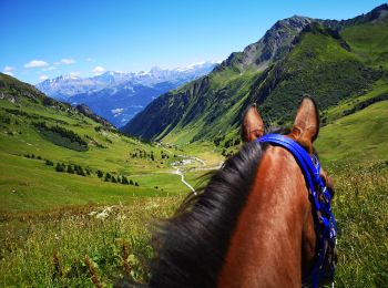
Reiten
Wandern
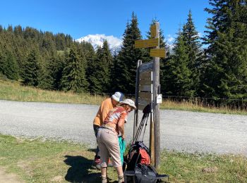
Wandern
Wandern
Schneeschuhwandern
Wandern
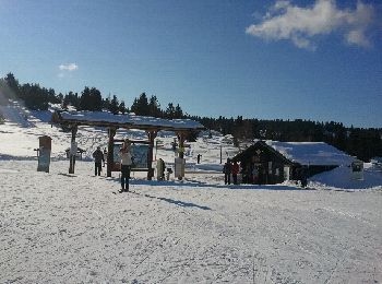
Wintersport
Wandern
Wandern
20 Angezeigte Touren bei 336
Kostenlosegpshiking-Anwendung
 SityTrail
IGN / Geografische Institute
SityTrail World
Die Welt öffnet sich für Sie