


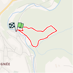


8,5 km | 10,6 km-effort

Benutzer GUIDE


Kostenlosegpshiking-Anwendung
 SityTrail
IGN / Geografische Institute
SityTrail World
Die Welt öffnet sich für Sie
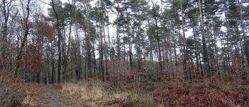
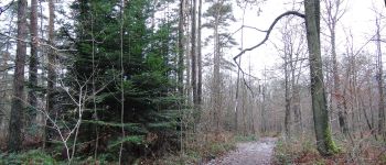
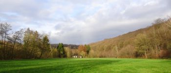
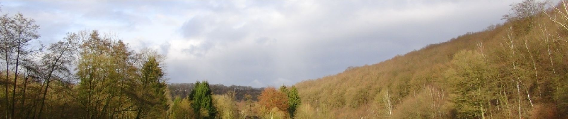
Tour Wandern von 2,3 km verfügbar auf Wallonien, Hennegau, Ham-sur-Heure-Nalinnes. Diese Tour wird von Desrumaux vorgeschlagen.
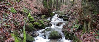
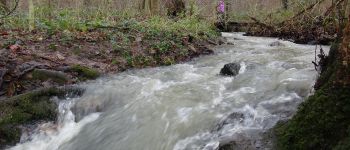
Agréable promenade au fil du ruisseau du Bois Communal de Beignée.Départ: Chemin des Chalets - Beignée (Ham-sur-Heure)


Wandern
Wandern
Wandern

Wandern

Wandern

Wandern

Wandern

Wandern

Wandern