


3,5 km | 4,7 km-effort
Ham-sur-Heure-Nalinnes : Entdecken Sie die besten Touren : 333 zu Fuß, 76 mit dem Fahrrad oder Mountainbike und 1 auf dem Pferderücken. Alle diese Touren, Trails, Routen und Outdoor-Aktivitäten sind in unseren SityTrail-Apps für Smartphones und Tablets verfügbar.

Wandern


• Details sur TraceGPS.com http://www.tracegps.com/fr/parcours/circuit5091.htm
Wandern
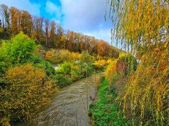
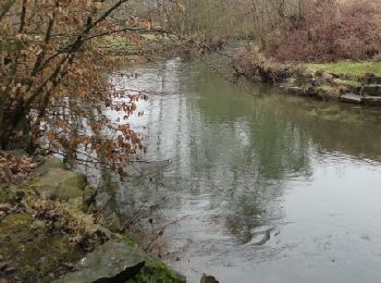
• Agréable balade forestière au fil de l’eau d’Heure dans une ambiance bucolique.Départ : gare d’Ham-sur-Heure
Wandern
• Détails de la rando sur le site tracegps.com http://www.tracegps.com/fr/parcours/circuit12757.htm
Wandern
Wandern
• Détails de la rando sur le site tracegps.com http://www.tracegps.com/fr/parcours/circuit13235.htm
Wandern
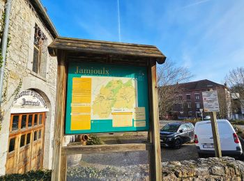
• De tous temps, on a dit de Jamioulx qu'il était "la petite Ardenne" du Pays Noir (certains disent aussi "la petite Su...
Wandern
• Partez à la découverte des terrils du Pays de Charleroi. Ces sommets chargés d'histoire, à mi-chemin entre la montagn...

Mountainbike
•
Wandern
Wandern
Wandern
Mountainbike

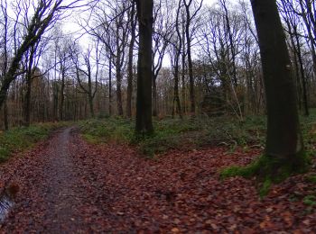
Zu Fuß
• Trail created by Pays des Lacs. Los geht es auf dem Platz in Cour-sur-Heure. Dieser Spaziergang führt abwechselnd...

Zu Fuß
• Trail created by Pays des Lacs. Auf dem Platz in Nalinnes ist der Kiosk aus dem Jahr 1907 sehr bekannt. Zusammen ...
Zu Fuß
• Trail created by Pays des Lacs. Bei diesem Spaziergang tauchen Sie mitten ins Tal der Eau d´Heure in Ham-sur-Heur...
Zu Fuß
• Trail created by Pays des Lacs. Los geht es im Zentrum von Jamioulx. Dieser Spaziergang führt zunächst entlang de...

Zu Fuß
• Trail created by Pays des Lacs. Dieser Spaziergang beginnt an der Kirche Saint-Christophe von Marbaix. In diesem ...
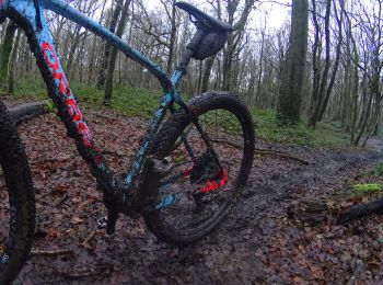
Mountainbike
Mountainbike
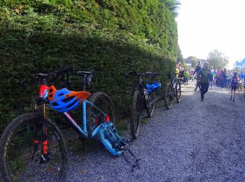
Mountainbike
20 Angezeigte Touren bei 433
Kostenlosegpshiking-Anwendung
 SityTrail
IGN / Geografische Institute
SityTrail World
Die Welt öffnet sich für Sie