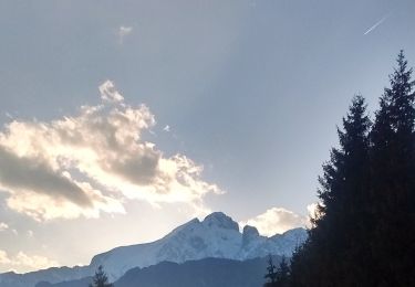
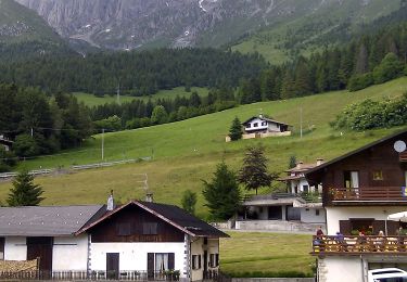
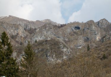
Tour Zu Fuß Colere - CAI315: Passo della Presolana - Grotta dei Pagani - Photo

CAI315: Passo della Presolana - Grotta dei Pagani

Tous les sentiers balisés d’Europe GUIDE+

© OpenStreetMap contributors
Länge
Länge
4,8 km
Maximale Höhe
Maximale Höhe
2277 m
Positive Höhendifferenz
943 m
Km-Effort
Km-Effort  
14,2 km
Min. Höhe
Min. Höhe
1287 m
Negative Höhendifferenz
1 m
Boucle
Boucle
Nein
Kennzeichnung
Kennzeichnung
Erstellungsdatum :
2022-02-15 12:01:38.482
Letzte Änderung :
2022-03-01 09:16:46.786

(0 Nachricht)

Zu Fuß
Zu Fuß
3h13
Schwierigkeit : Einfach

Scannen Sie diesen QR-Code, um die Tour in der SityTrail-Anwendung zu öffnen

Kostenlosegpshiking-Anwendung

Logo SityTrail SityTrail

IGN / Geografische Institute

SityTrail aus dem App Store herunterladen SityTrail von Google Play herunterladen

Logo SityTrail SityTrail World

Die Welt öffnet sich für Sie

SityTrail aus dem App Store herunterladen SityTrail von Google Play herunterladen SityTrail auf Huawei AppGallery herunterladen

Über SityTrail

Tour Zu Fuß von 4,8 km verfügbar auf Lombardei, Bergamo, Colere. Diese Tour wird von SityTrail - itinéraires balisés pédestres vorgeschlagen.

Beschreibung

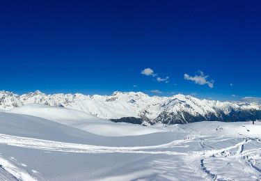
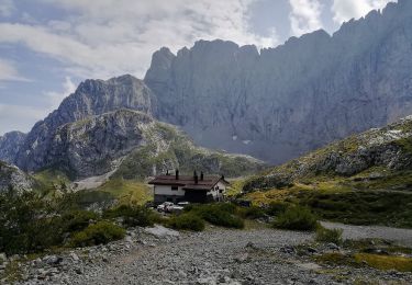
Il sentiero 315 è forse il percorso più usato per salire al Pizzo della Presolana, partendo dal passo della Presolana (un tempo, invece, si partiva dall'albergo Grotta, come riportato ancora nelle precedenti carte CAI). In prossimità del passo della Presolana (1297 m) si sale verso ovest per bosco e prati fino al rifugio baita Cassinelli (a quota 1568 m).

Website: http://geoportale.caibergamo.it/it/sentiero/315

Höhenprofil

Foto-Galerie

Ort

Land:
Italy
Region :
Lombardei
Abteilung/Provinz :
Bergamo
Kommune :
Colere
Standort:
Unknown
Gehen Sie:(UTM)
584768 ; 5086818 (32T) N.

Touren in der Umgebung

Tour Zu Fuß Colere - IT-401 - Photo
Zu Fuß
GUIDE+

Zu Fuß

Einfach
Colere, Lombardei, Bergamo, Italy
4 km | 7,2 km-effort
1h 38min
Nein
Tour Zu Fuß Colere - Sentiero delle Orobie Orientali - Tappa finale Anello - Photo
Zu Fuß
GUIDE+

Zu Fuß

Medium
Colere, Lombardei, Bergamo, Italy
14,9 km | 24 km-effort
5h 24min
Nein
Tour Zu Fuß Castione della Presolana - CAI318: Castione della Presolana - Grotta dei Pagani - Photo
Zu Fuß
GUIDE+

Zu Fuß

Medium
Castione della Presolana, Lombardei, Bergamo, Italy
6,6 km | 20 km-effort
4h 39min
Nein
Tour Zu Fuß Castione della Presolana - CAI317 - Castione della Presolana - Monte Valsacco - Clusone - Photo
Zu Fuß
GUIDE+

Zu Fuß

Medium
Castione della Presolana, Lombardei, Bergamo, Italy
13,6 km | 29 km-effort
6h 31min
Nein
Tour Zu Fuß Colere - Sentiero delle Orobie Orientali - Tappa finale Classico - Photo
Zu Fuß
GUIDE+

Zu Fuß

Einfach
Colere, Lombardei, Bergamo, Italy
9,4 km | 19,6 km-effort
4h 27min
Nein
Tour Zu Fuß Azzone - Trekking tra malghe e menhir anello 3: Salven - Costone - San Fermo - Photo
Zu Fuß
GUIDE+

Zu Fuß

Medium
Azzone, Lombardei, Bergamo, Italy
13,5 km | 25 km-effort
5h 45min
Ja
Tour Zu Fuß Colere - CAI316: Cantoniera della Presolana - Monte Visolo - Photo
Zu Fuß
GUIDE+

Zu Fuß

Einfach
Colere, Lombardei, Bergamo, Italy
5,5 km | 15,9 km-effort
3h 36min
Nein
Tour Zu Fuß Colere - CAI326: Rifugio Albani - Monte Visolo (ferrata della Porta) - Photo
Zu Fuß
GUIDE+

Zu Fuß

Einfach
Colere, Lombardei, Bergamo, Italy
3,4 km | 10 km-effort
2h 16min
Nein
Tour Zu Fuß Castione della Presolana - Castione - Via del Latte - Photo
Zu Fuß
GUIDE+

Zu Fuß

Einfach
Castione della Presolana, Lombardei, Bergamo, Italy
12,1 km | 18,5 km-effort
4h 12min
Nein


Schließen
Meine Abonnements