


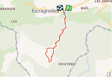

938 m | 1,3 km-effort

Benutzer


Kostenlosegpshiking-Anwendung
 SityTrail
IGN / Geografische Institute
SityTrail World
Die Welt öffnet sich für Sie
Tour Langlaufen von 5,8 km verfügbar auf Provence-Alpes-Côte d'Azur, Seealpen, Escragnolles. Diese Tour wird von Palimpseste vorgeschlagen.
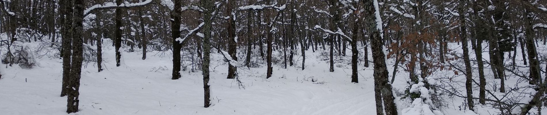
Promenade facile pour atteindre de grands champs de neige et une vue panoramique sur la côte de Nice au massif des Maures dans le lointain. Le tracé suit la piste sauf un détour au sommet pour profiter de la neige en sous-bois.


Wandern

Wandern

Wandern

Wandern

Zu Fuß
Wandern
Wandern
Wandern
Wandern