


938 m | 1,3 km-effort
Escragnolles : Entdecken Sie die besten Touren : 51 zu Fuß und 2 mit dem Fahrrad oder Mountainbike. Alle diese Touren, Trails, Routen und Outdoor-Aktivitäten sind in unseren SityTrail-Apps für Smartphones und Tablets verfügbar.
Wandern


Wandern
Zu Fuß
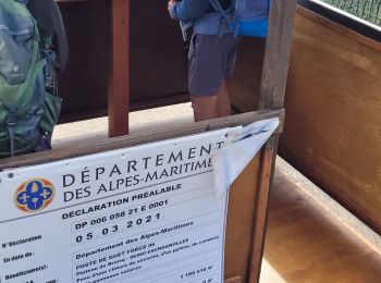
• Trail created by Département des Alpes-Maritimes.
Wandern

 9.77
9.77
sport

Zu Fuß

Wandern
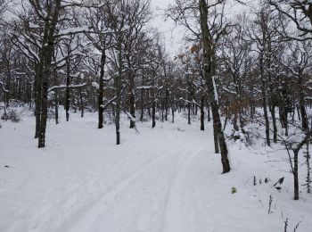
Langlaufen
Wandern

Wandern

Wandern
Wandern

Wandern

Wandern
Zu Fuß

Wandern
Wandern
11.481
sport
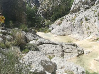
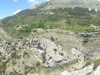
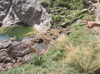
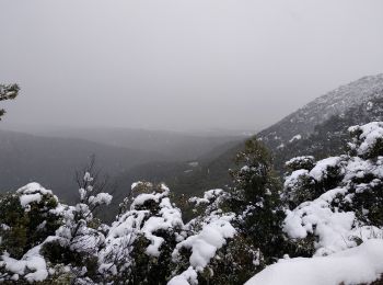
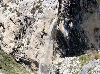
• Randonnée dans l'arrière pays grassois au départ du hameau des Galants (Escragnolles). Rando en boucle de 12,5 km ave...
Wandern
Wandern
20 Angezeigte Touren bei 59
Kostenlosegpshiking-Anwendung
 SityTrail
IGN / Geografische Institute
SityTrail World
Die Welt öffnet sich für Sie