


12,9 km | 21 km-effort


Benutzer


Kostenlosegpshiking-Anwendung
 SityTrail
IGN / Geografische Institute
SityTrail World
Die Welt öffnet sich für Sie
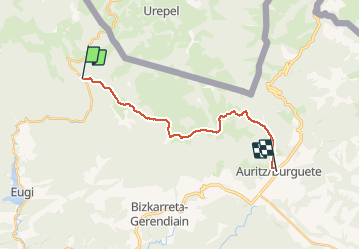
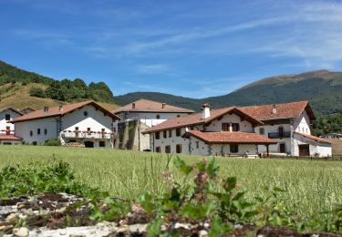
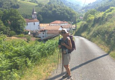
Tour Wandern von 17,3 km verfügbar auf Navarra, Unbekannt, Baztan. Diese Tour wird von phelan vorgeschlagen.
Distance/elevation: 17,5 km / ( 720 m), (-735 m)
Time: 5h05min (walking time without stops).
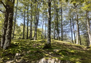
Difficulty: medium-easy. This is not a long stage and the paths are generally comfortable for walking. Waymarking is good, and except for the ascent from Sorogain to Mendiaundi in foggy conditions, you will have no difficulty following the markings for this stage.
Wandern
Zu Fuß
Wandern
Wandern
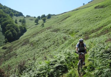
Mountainbike
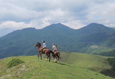
Pferd

Laufen

Mountainbike
Reiten