


14,5 km | 25 km-effort
Baztan : Entdecken Sie die besten Touren : 76 zu Fuß, 3 mit dem Fahrrad oder Mountainbike und 3 auf dem Pferderücken. Alle diese Touren, Trails, Routen und Outdoor-Aktivitäten sind in unseren SityTrail-Apps für Smartphones und Tablets verfügbar.

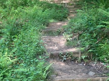
Wandern


Zu Fuß
• Symbol: white strip on top of green strip
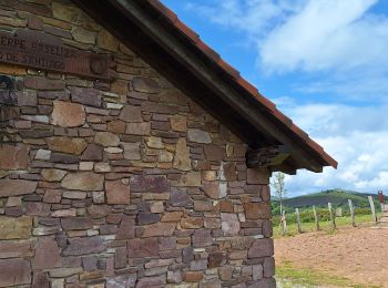
Zu Fuß
• Symbol: white strip on top of green strip
Wandern
Wandern
Wandern
Zu Fuß
• Symbol: orange strip
Zu Fuß
• Symbol: white strip on top of green strip
Wandern
Wandern
Wandern
Wandern

Pferd
Wandern
Wandern
Wandern
Wandern

Wandern
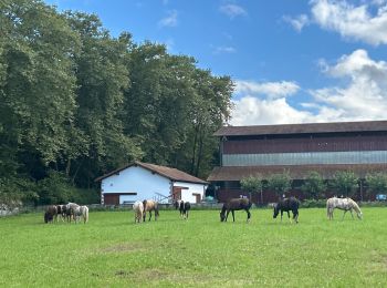
Reiten

Wandern
20 Angezeigte Touren bei 84
Kostenlosegpshiking-Anwendung
 SityTrail
IGN / Geografische Institute
SityTrail World
Die Welt öffnet sich für Sie