


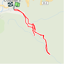

18,8 km | 29 km-effort


Benutzer


Kostenlosegpshiking-Anwendung
 SityTrail
IGN / Geografische Institute
SityTrail World
Die Welt öffnet sich für Sie
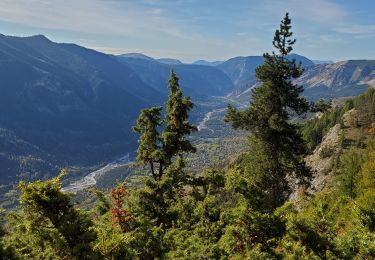
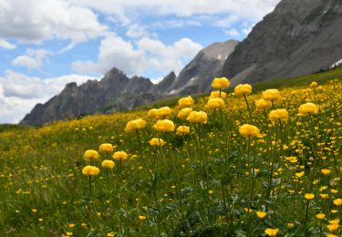
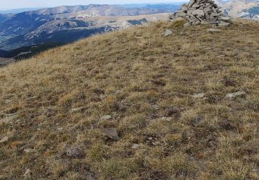
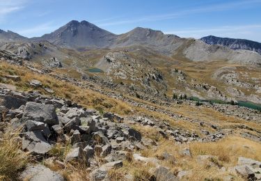
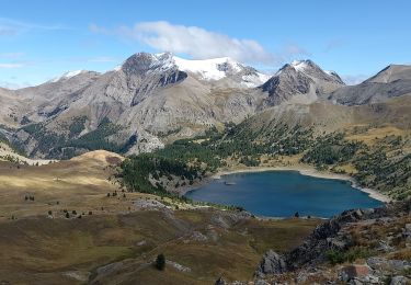
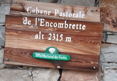
Tour Wandern von 4,4 km verfügbar auf Provence-Alpes-Côte d'Azur, Alpes-de-Haute-Provence, Colmars. Diese Tour wird von jmheydorff vorgeschlagen.
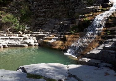
Pkg Colmars, fléché dès l''entrée Sud de la commune - en bordure de rive droite de La Lance.
remonter la lance jusqu''aux vasques et faire 1/2 tour

Wandern

Wandern
Wandern
Wandern
Wandern
Wandern
Wandern
Wandern
Wandern