


5,7 km | 8,3 km-effort


Benutzer


Kostenlosegpshiking-Anwendung
 SityTrail
IGN / Geografische Institute
SityTrail World
Die Welt öffnet sich für Sie
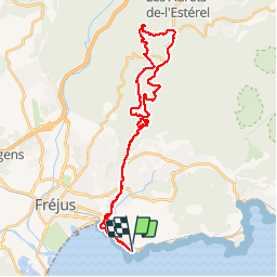
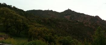
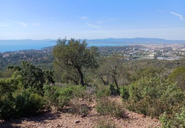
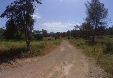
Tour Mountainbike von 36 km verfügbar auf Provence-Alpes-Côte d'Azur, Var, Saint-Raphaël. Diese Tour wird von barberou vorgeschlagen.
Saint-Raphaël
Piste du Porfait
Maison Forestière du Malpey
Col du Logis de Paris
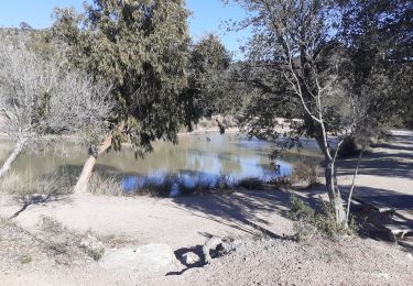
Lac de l'Avellan
Col du Testanier
Retour par GR49


Wandern

Wandern

Elektrofahrrad
Wandern
Wandern
Wandern
Mountainbike
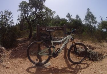
Mountainbike
Mountainbike
Très beau parcours,simple et agréable,si ce n’est qu’il emprunte des chemins interdits à tte circulation !!!!