


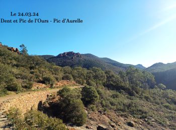
17,7 km | 25 km-effort
Saint-Raphaël : Entdecken Sie die besten Touren : 1.069 zu Fuß und 129 mit dem Fahrrad oder Mountainbike. Alle diese Touren, Trails, Routen und Outdoor-Aktivitäten sind in unseren SityTrail-Apps für Smartphones und Tablets verfügbar.
Wandern


Wandern
Wandern
Wandern
Wandern

Wandern
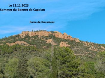
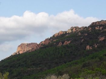
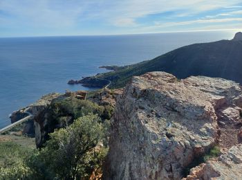
• Pic du Cap Roux

Wandern
Wandern

Wandern

Wandern

Wandern
Wandern
Wandern
Wandern
Wandern

Wandern
Wandern
Wandern

Wandern

Wandern
20 Angezeigte Touren bei 1273
Kostenlosegpshiking-Anwendung
 SityTrail
IGN / Geografische Institute
SityTrail World
Die Welt öffnet sich für Sie