


12,4 km | 17,3 km-effort

Benutzer


Kostenlosegpshiking-Anwendung
 SityTrail
IGN / Geografische Institute
SityTrail World
Die Welt öffnet sich für Sie
Tour Laufen von 9,9 km verfügbar auf Provence-Alpes-Côte d'Azur, Bouches-du-Rhône, Vitrolles. Diese Tour wird von tracegps vorgeschlagen.
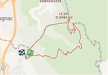
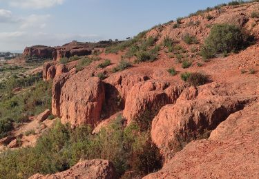
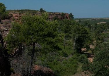
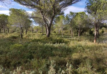
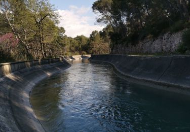
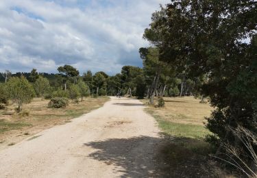
Beaucoup de chemins partent des villages alentours, Vitrolles, Rognac, Velaux et aboutissent sur le plateau de l'Arbois. Y'a vraiment de quoi faire ! C'est un endroit très agréable pour courir car les pistes sont larges et avec peu de dénivelé. Toute la zone est maillée par un réseau de pistes pompiers très pratiques. Ces pistes sont jalonnées par de grosses pierres peintes que l'on voit de loin. Il y a beaucoup de possibilités de footing sur tout le plateau. Le parcours d'aujourd'hui offre de beaux points de vue sur l'Etang de Berre et ne présente aucune difficulté d'orientation. Quelques centaines de mètres après le départ, on remarquera les vestiges de l'ancien sémaphore CHAPPE. A l'heure d'internet ça laisse admiratif … Attention, du 01 juin au 30 septembre l'accès aux massifs forestiers est réglementé. Le niveau de danger du jour est défini la veille pour le lendemain à partir de 18h00 et consultable ICI ou en appelant le serveur vocal dédié au 08 11 20 13 13.

Laufen
Mountainbike
Wandern


sport
Mountainbike
Wandern
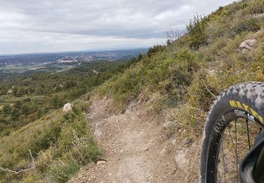
Mountainbike
Mountainbike
Wandern