


10,1 km | 18,8 km-effort
Lozère : Entdecken Sie die besten Touren : 3.103 zu Fuß, 610 mit dem Fahrrad oder Mountainbike und 238 auf dem Pferderücken. Alle diese Touren, Trails, Routen und Outdoor-Aktivitäten sind in unseren SityTrail-Apps für Smartphones und Tablets verfügbar.
Wandern


Wandern
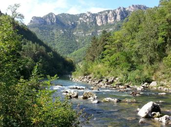
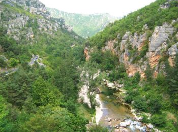
• Départ de Les Vignes vers Le Rozier - 16,5 km AR
Nordic Walking
Mountainbike
Nordic Walking
Wandern
Wandern

Wandern
Rennrad
Wandern
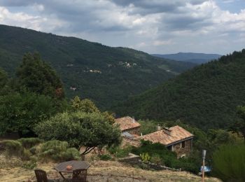
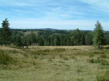
• Sentier découverte de l'Avès. Petite randonnée (PR) balisage jaune. Départ ici depuis notre chambre d'hôte, mais sino...

Wandern
• Stevenson
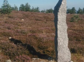
Wandern
• Stevenson

Wandern
•
Wandern
Wandern
Wandern
Wandern
Nordic Walking
Nordic Walking
Wandern
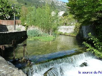
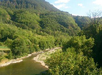
• 2 rives du Tarn
20 Angezeigte Touren bei 4327
Kostenlosegpshiking-Anwendung
 SityTrail
IGN / Geografische Institute
SityTrail World
Die Welt öffnet sich für Sie