


4,6 km | 6,5 km-effort
Saint-Alban-sur-Limagnole : Entdecken Sie die besten Touren : 29 zu Fuß, 3 mit dem Fahrrad oder Mountainbike und 3 auf dem Pferderücken. Alle diese Touren, Trails, Routen und Outdoor-Aktivitäten sind in unseren SityTrail-Apps für Smartphones und Tablets verfügbar.
Wandern


Wandern

Wandern
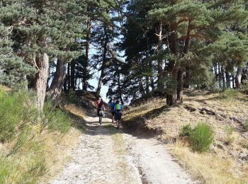
• Les Faux - Aumont-Aubrac
Wandern
• Les Faux - Aumont-Aubrac

Wandern
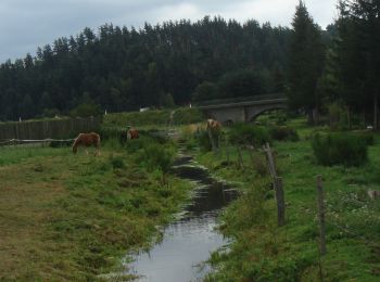
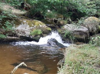
• Saint-Jacques de Compostelle. j'ai essayé de recenser, également les points d'eau sur le parcours. N'hésitez pas à m'...
Wandern
• grp_trc:

Wandern
Wandern
Wandern

Pferd
Reiten

Wandern
• Chemin de St Jacques de Compostelle Les Faux -> Aumont-Aubrac

Mountainbike
• RAND'ALBANAISE 2017
Wandern

Nordic Walking
Wandern
Wandern
Wandern
Wandern
Zu Fuß
20 Angezeigte Touren bei 35
Kostenlosegpshiking-Anwendung
 SityTrail
IGN / Geografische Institute
SityTrail World
Die Welt öffnet sich für Sie