![](/images/other/stat-length.png)
Kärnten, Austria, Zu Fuß: Die besten Touren, Trails, Trecks und Wanderungen
Kärnten : Entdecken Sie die besten Touren : 122 zu fuß und 18 wandern. Alle diese Touren, Trails, Routen und Outdoor-Aktivitäten sind in unseren SityTrail-Apps für Smartphones und Tablets verfügbar.
Die besten Spuren (140)
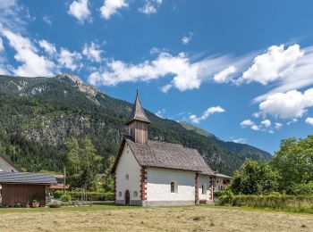
![Tour Zu Fuß Velden am Wörther See - Teufelsgraben-Sternberg-Saissersee-Römerschlucht-Runde - Photo](https://media.geolcdn.com/t/350/260/3e8865c8-d0c8-440e-bf63-0691164f1715.jpeg&format=jpg&maxdim=2)
![Zu Fuß Zu Fuß](https://static1.geolcdn.com/sitytour/trail-icons/100.png)
Km
Zu Fuß
![](/images/other/stat-length.png)
![](https://static1.geolcdn.com/siteimages/upload/files/1508320355ic_sort_den_pos_24dp.png)
![](https://static1.geolcdn.com/siteimages/upload/files/1508320355ic_sort_den_neg_24dp.png)
![](https://static1.geolcdn.com/siteimages/upload/files/16400158638029165_repeat_loop_refresh_sync_direction_icon.png)
• Trail created by ÖAV Sektion Klagenfurt.
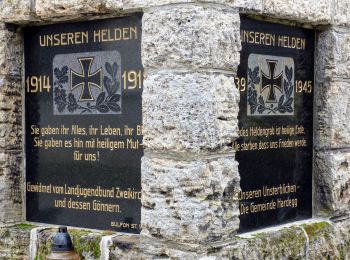
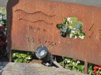
![Tour Zu Fuß Liebenfels - Ulrichsberg-Gedächtniswanderung - Photo](https://media.geolcdn.com/t/350/260/9b27c872-b99c-4a74-a029-7ddbcec5cf93.jpeg&format=jpg&maxdim=2)
![Zu Fuß Zu Fuß](https://static1.geolcdn.com/sitytour/trail-icons/100.png)
Km
Zu Fuß
![](/images/other/stat-length.png)
![](https://static1.geolcdn.com/siteimages/upload/files/1508320355ic_sort_den_pos_24dp.png)
![](https://static1.geolcdn.com/siteimages/upload/files/1508320355ic_sort_den_neg_24dp.png)
![](https://static1.geolcdn.com/siteimages/upload/files/16400158638029165_repeat_loop_refresh_sync_direction_icon.png)
• Trail created by ÖAV - Sektion Klagenfurt.
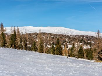
![Tour Zu Fuß Albeck - Entlang des Nockalmbergmarathons (Teile) - Photo](https://media.geolcdn.com/t/350/260/ac054dba-fd05-463f-bcd5-5e9aac44bdeb.jpeg&format=jpg&maxdim=2)
![Zu Fuß Zu Fuß](https://static1.geolcdn.com/sitytour/trail-icons/100.png)
Km
Zu Fuß
![](/images/other/stat-length.png)
![](https://static1.geolcdn.com/siteimages/upload/files/1508320355ic_sort_den_pos_24dp.png)
![](https://static1.geolcdn.com/siteimages/upload/files/1508320355ic_sort_den_neg_24dp.png)
![](https://static1.geolcdn.com/siteimages/upload/files/16400158638029165_repeat_loop_refresh_sync_direction_icon.png)
• Trail created by ÖAV - Sektion Klagenfurt.
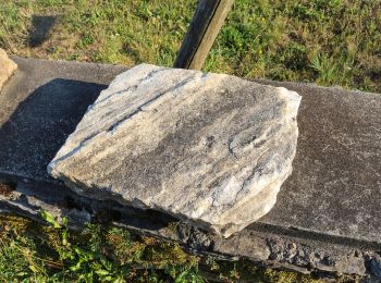
![Tour Zu Fuß Moosburg - Tigring: 21 Teiche-Runde - Photo](https://media.geolcdn.com/t/350/260/78d91533-f349-4d60-b543-4be791db9879.jpeg&format=jpg&maxdim=2)
![Zu Fuß Zu Fuß](https://static1.geolcdn.com/sitytour/trail-icons/100.png)
Km
Zu Fuß
![](/images/other/stat-length.png)
![](https://static1.geolcdn.com/siteimages/upload/files/1508320355ic_sort_den_pos_24dp.png)
![](https://static1.geolcdn.com/siteimages/upload/files/1508320355ic_sort_den_neg_24dp.png)
![](https://static1.geolcdn.com/siteimages/upload/files/16400158638029165_repeat_loop_refresh_sync_direction_icon.png)
• Trail created by ÖAV – Sektion Klagenfurt.
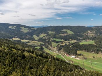
![Tour Zu Fuß Frauenstein - Pulst-Sörg-Lorenziberg-Runde - Photo](https://media.geolcdn.com/t/350/260/de79d99f-df3f-4fa2-bcdb-261b2ed15353.jpeg&format=jpg&maxdim=2)
![Zu Fuß Zu Fuß](https://static1.geolcdn.com/sitytour/trail-icons/100.png)
Km
Zu Fuß
![](/images/other/stat-length.png)
![](https://static1.geolcdn.com/siteimages/upload/files/1508320355ic_sort_den_pos_24dp.png)
![](https://static1.geolcdn.com/siteimages/upload/files/1508320355ic_sort_den_neg_24dp.png)
![](https://static1.geolcdn.com/siteimages/upload/files/16400158638029165_repeat_loop_refresh_sync_direction_icon.png)
• Trail created by ÖAV – Sektion Klagenfurt.
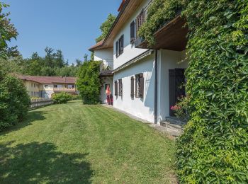
![Tour Zu Fuß Unbekannt - Kreuzbergl-18 km-Wanderung - Photo](https://media.geolcdn.com/t/350/260/b3adb0a6-3371-4575-bb14-05990bc665c6.jpeg&format=jpg&maxdim=2)
![Zu Fuß Zu Fuß](https://static1.geolcdn.com/sitytour/trail-icons/100.png)
Km
Zu Fuß
![](/images/other/stat-length.png)
![](https://static1.geolcdn.com/siteimages/upload/files/1508320355ic_sort_den_pos_24dp.png)
![](https://static1.geolcdn.com/siteimages/upload/files/1508320355ic_sort_den_neg_24dp.png)
![](https://static1.geolcdn.com/siteimages/upload/files/16400158638029165_repeat_loop_refresh_sync_direction_icon.png)
• Trail created by ÖAV – Sektion Klagenfurt. Diese Wanderung “Kreuzbergl-Runde – auf der Suche nach Sehenswertem“ wird...
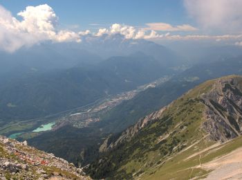
![Tour Zu Fuß Feistritz im Rosental - Bärental-Hochstuhl-Runde - Photo](https://media.geolcdn.com/t/350/260/c8c96e24-cb5e-42e5-8f75-0f310ce4860f.jpeg&format=jpg&maxdim=2)
![Zu Fuß Zu Fuß](https://static1.geolcdn.com/sitytour/trail-icons/100.png)
Km
Zu Fuß
![](/images/other/stat-length.png)
![](https://static1.geolcdn.com/siteimages/upload/files/1508320355ic_sort_den_pos_24dp.png)
![](https://static1.geolcdn.com/siteimages/upload/files/1508320355ic_sort_den_neg_24dp.png)
![](https://static1.geolcdn.com/siteimages/upload/files/16400158638029165_repeat_loop_refresh_sync_direction_icon.png)
• Trail created by ÖAV – Sektion Klagenfurt. Nach ca. 1 Stunde Bergwanderung gibt es keine weitere Wasserstelle!
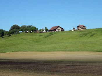
![Tour Zu Fuß Maria Saal - Maria Saaler Rundtour - Photo](https://media.geolcdn.com/t/350/260/bd599cf8-39e4-42f0-a365-3aae77e12caa.jpeg&format=jpg&maxdim=2)
![Zu Fuß Zu Fuß](https://static1.geolcdn.com/sitytour/trail-icons/100.png)
Km
Zu Fuß
![](/images/other/stat-length.png)
![](https://static1.geolcdn.com/siteimages/upload/files/1508320355ic_sort_den_pos_24dp.png)
![](https://static1.geolcdn.com/siteimages/upload/files/1508320355ic_sort_den_neg_24dp.png)
![](https://static1.geolcdn.com/siteimages/upload/files/16400158638029165_repeat_loop_refresh_sync_direction_icon.png)
• Trail created by ÖAV – Sektion Klagenfurt. Es ist eine sehr leichte Wanderung! An geeigneten Plätzen werden T'ai Chi...
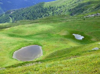
![Tour Zu Fuß Hüttenberg - Saualpen-Nordrunde - Photo](https://media.geolcdn.com/t/350/260/077f9a46-c65c-4128-9f0c-95f81e612863.jpeg&format=jpg&maxdim=2)
![Zu Fuß Zu Fuß](https://static1.geolcdn.com/sitytour/trail-icons/100.png)
Km
Zu Fuß
![](/images/other/stat-length.png)
![](https://static1.geolcdn.com/siteimages/upload/files/1508320355ic_sort_den_pos_24dp.png)
![](https://static1.geolcdn.com/siteimages/upload/files/1508320355ic_sort_den_neg_24dp.png)
![](https://static1.geolcdn.com/siteimages/upload/files/16400158638029165_repeat_loop_refresh_sync_direction_icon.png)
• Trail created by ÖAV – Sektion Klagenfurt. diese Nordrunde verläuft im Uhrzeigersinn
![Tour Zu Fuß Wolfsberg - Saualpen-Südrunde - Photo](https://media.geolcdn.com/t/350/260/077f9a46-c65c-4128-9f0c-95f81e612863.jpeg&format=jpg&maxdim=2)
![Zu Fuß Zu Fuß](https://static1.geolcdn.com/sitytour/trail-icons/100.png)
Km
Zu Fuß
![](/images/other/stat-length.png)
![](https://static1.geolcdn.com/siteimages/upload/files/1508320355ic_sort_den_pos_24dp.png)
![](https://static1.geolcdn.com/siteimages/upload/files/1508320355ic_sort_den_neg_24dp.png)
![](https://static1.geolcdn.com/siteimages/upload/files/16400158638029165_repeat_loop_refresh_sync_direction_icon.png)
• Trail created by ÖAV – Sektion Klagenfurt – Zentralalpen – Lavanttaler/Norische Alpen – Saualpe.
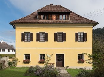
![Tour Zu Fuß Sankt Veit an der Glan - St. Donat-Magdalensberg-Achter - Photo](https://media.geolcdn.com/t/350/260/03424e4a-b077-4695-b62d-02f12a07919f.jpeg&format=jpg&maxdim=2)
![Zu Fuß Zu Fuß](https://static1.geolcdn.com/sitytour/trail-icons/100.png)
Km
Zu Fuß
![](/images/other/stat-length.png)
![](https://static1.geolcdn.com/siteimages/upload/files/1508320355ic_sort_den_pos_24dp.png)
![](https://static1.geolcdn.com/siteimages/upload/files/1508320355ic_sort_den_neg_24dp.png)
![](https://static1.geolcdn.com/siteimages/upload/files/16400158638029165_repeat_loop_refresh_sync_direction_icon.png)
• Trail created by ÖAV – Sektion Klagenfurt.
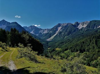
![Tour Zu Fuß Feistritz im Rosental - Matschacher Gupf-Runde - Photo](https://media.geolcdn.com/t/350/260/9b892da1-0482-49be-9515-dcaad1157c26.jpeg&format=jpg&maxdim=2)
![Zu Fuß Zu Fuß](https://static1.geolcdn.com/sitytour/trail-icons/100.png)
Km
Zu Fuß
![](/images/other/stat-length.png)
![](https://static1.geolcdn.com/siteimages/upload/files/1508320355ic_sort_den_pos_24dp.png)
![](https://static1.geolcdn.com/siteimages/upload/files/1508320355ic_sort_den_neg_24dp.png)
![](https://static1.geolcdn.com/siteimages/upload/files/16400158638029165_repeat_loop_refresh_sync_direction_icon.png)
• Trail created by ÖAV – Sektion Klagenfurt – Karawanken-Vorberge – Feistritz i. R. – Matschacher Gupf-Runde.
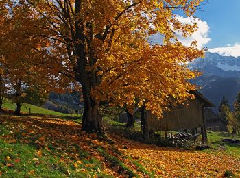
![Tour Zu Fuß Ferlach - Sinacher Gupf-Runde - Photo](https://media.geolcdn.com/t/350/260/5931ca75-bb44-4ee2-a568-832de664fe2d.jpeg&format=jpg&maxdim=2)
![Zu Fuß Zu Fuß](https://static1.geolcdn.com/sitytour/trail-icons/100.png)
Km
Zu Fuß
![](/images/other/stat-length.png)
![](https://static1.geolcdn.com/siteimages/upload/files/1508320355ic_sort_den_pos_24dp.png)
![](https://static1.geolcdn.com/siteimages/upload/files/1508320355ic_sort_den_neg_24dp.png)
![](https://static1.geolcdn.com/siteimages/upload/files/16400158638029165_repeat_loop_refresh_sync_direction_icon.png)
• Trail created by ÖAV – Sektion Klagenfurt – Karawanken-Vorberge – Feistritz i. R. – Sinacher Gupf-Runde https://www.o...
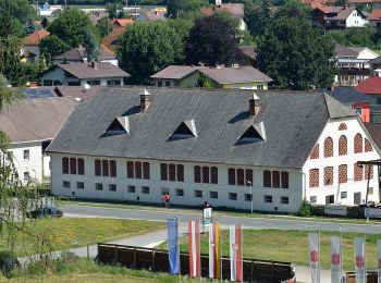
![Tour Zu Fuß Friesach - Friesach-Deutschhauserberg-Runde - Photo](https://media.geolcdn.com/t/350/260/0a50377b-aea3-472b-bedf-3b5b58b74d4c.jpeg&format=jpg&maxdim=2)
![Zu Fuß Zu Fuß](https://static1.geolcdn.com/sitytour/trail-icons/100.png)
Km
Zu Fuß
![](/images/other/stat-length.png)
![](https://static1.geolcdn.com/siteimages/upload/files/1508320355ic_sort_den_pos_24dp.png)
![](https://static1.geolcdn.com/siteimages/upload/files/1508320355ic_sort_den_neg_24dp.png)
![](https://static1.geolcdn.com/siteimages/upload/files/16400158638029165_repeat_loop_refresh_sync_direction_icon.png)
• Trail created by ÖAV – Sektion Klagenfurt – Metnitztal – Friesacher Feld - Friesach-Deutschhauserberg-Runde https://w...
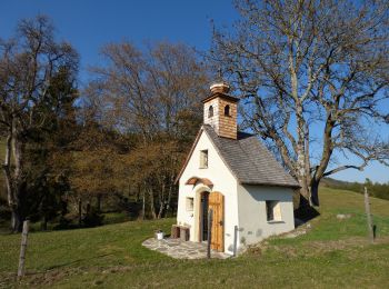
![Tour Zu Fuß Magdalensberg - Magdalensberg-Christofberg (Rundtour) - Photo](https://media.geolcdn.com/t/350/260/0d98de5c-eab1-4a39-b311-49425880282a.jpeg&format=jpg&maxdim=2)
![Zu Fuß Zu Fuß](https://static1.geolcdn.com/sitytour/trail-icons/100.png)
Km
Zu Fuß
![](/images/other/stat-length.png)
![](https://static1.geolcdn.com/siteimages/upload/files/1508320355ic_sort_den_pos_24dp.png)
![](https://static1.geolcdn.com/siteimages/upload/files/1508320355ic_sort_den_neg_24dp.png)
![](https://static1.geolcdn.com/siteimages/upload/files/16400158638029165_repeat_loop_refresh_sync_direction_icon.png)
• Trail created by ÖAV – Sektion Klagenfurt – Klagenfurter Becken – unteres Gurktal - Magdalensberg-Christofberg (Rundt...
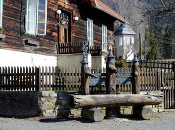
![Tour Zu Fuß Eberstein - Eberstein's Sehenswürdigkeiten (Rundwanderung) - Photo](https://media.geolcdn.com/t/350/260/1bcdbfbd-5e67-4223-ae4d-e90f056fa883.jpeg&format=jpg&maxdim=2)
![Zu Fuß Zu Fuß](https://static1.geolcdn.com/sitytour/trail-icons/100.png)
Km
Zu Fuß
![](/images/other/stat-length.png)
![](https://static1.geolcdn.com/siteimages/upload/files/1508320355ic_sort_den_pos_24dp.png)
![](https://static1.geolcdn.com/siteimages/upload/files/1508320355ic_sort_den_neg_24dp.png)
![](https://static1.geolcdn.com/siteimages/upload/files/16400158638029165_repeat_loop_refresh_sync_direction_icon.png)
• Trail created by ÖAV – Sektion Klagenfurt – Görtschitztal – Eberstein’s Sehenswürdigkeiten https://www.outdooractive....
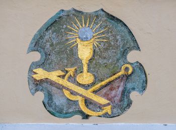
![Tour Zu Fuß Maria Wörth - W18 Pyramidenkogelweg Maria Wörth - Photo](https://media.geolcdn.com/t/350/260/e4b7fca2-8127-46f5-8697-921894df99c7.jpeg&format=jpg&maxdim=2)
![Zu Fuß Zu Fuß](https://static1.geolcdn.com/sitytour/trail-icons/100.png)
Km
Zu Fuß
![](/images/other/stat-length.png)
![](https://static1.geolcdn.com/siteimages/upload/files/1508320355ic_sort_den_pos_24dp.png)
![](https://static1.geolcdn.com/siteimages/upload/files/1508320355ic_sort_den_neg_24dp.png)
![](https://static1.geolcdn.com/siteimages/upload/files/16400158638029165_repeat_loop_refresh_sync_direction_icon.png)
• Trail created by Wörthersee Tourismus.
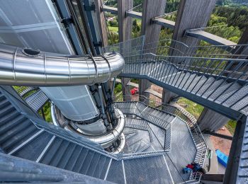
![Tour Zu Fuß Maria Wörth - W17 Pyramidenkogelweg Reifnitz - Photo](https://media.geolcdn.com/t/350/260/8f5b88ce-6649-4957-a963-7af65241bd1c.jpeg&format=jpg&maxdim=2)
![Zu Fuß Zu Fuß](https://static1.geolcdn.com/sitytour/trail-icons/100.png)
Km
Zu Fuß
![](/images/other/stat-length.png)
![](https://static1.geolcdn.com/siteimages/upload/files/1508320355ic_sort_den_pos_24dp.png)
![](https://static1.geolcdn.com/siteimages/upload/files/1508320355ic_sort_den_neg_24dp.png)
![](https://static1.geolcdn.com/siteimages/upload/files/16400158638029165_repeat_loop_refresh_sync_direction_icon.png)
• Trail created by Wörthersee Tourismus.
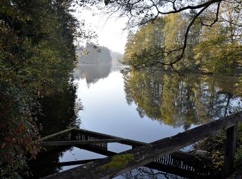
![Tour Zu Fuß Moosburg - W1 Bannwaldweg - Photo](https://media.geolcdn.com/t/350/260/a570c558-b24c-4489-bfc8-b5e9d8903b9b.jpeg&format=jpg&maxdim=2)
![Zu Fuß Zu Fuß](https://static1.geolcdn.com/sitytour/trail-icons/100.png)
Km
Zu Fuß
![](/images/other/stat-length.png)
![](https://static1.geolcdn.com/siteimages/upload/files/1508320355ic_sort_den_pos_24dp.png)
![](https://static1.geolcdn.com/siteimages/upload/files/1508320355ic_sort_den_neg_24dp.png)
![](https://static1.geolcdn.com/siteimages/upload/files/16400158638029165_repeat_loop_refresh_sync_direction_icon.png)
• Symbol: W1
![Tour Zu Fuß Hermagor-Pressegger See - Obervellach (Gasthof Schluga) - Radnig (Naturschwimmbad) - Photo](https://media.geolcdn.com/t/350/260/21dcd30a-77e6-4091-95d2-3f04b24315c4.jpeg&format=jpg&maxdim=2)
![Zu Fuß Zu Fuß](https://static1.geolcdn.com/sitytour/trail-icons/100.png)
Km
Zu Fuß
![](/images/other/stat-length.png)
![](https://static1.geolcdn.com/siteimages/upload/files/1508320355ic_sort_den_pos_24dp.png)
![](https://static1.geolcdn.com/siteimages/upload/files/1508320355ic_sort_den_neg_24dp.png)
![](https://static1.geolcdn.com/siteimages/upload/files/16400158638029165_repeat_loop_refresh_sync_direction_icon.png)
• Symbol: weiß-rot-weiß:13
20 Angezeigte Touren bei 140
Kostenlosegpshiking-Anwendung