


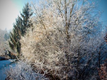
17,7 km | 24 km-effort
Bezirk Klagenfurt-Land : Entdecken Sie die besten Touren : 19 zu fuß und 1 wandern. Alle diese Touren, Trails, Routen und Outdoor-Aktivitäten sind in unseren SityTrail-Apps für Smartphones und Tablets verfügbar.
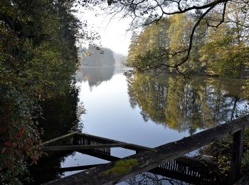
Zu Fuß


• Trail created by ÖAV – Sektion Klagenfurt.
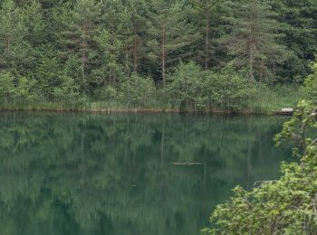
Zu Fuß
• Trail created by ÖAV – Sektion Klagenfurt. Nach ca. 1 Stunde Bergwanderung gibt es keine weitere Wasserstelle!
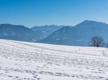
Zu Fuß
• Trail created by ÖAV – Sektion Klagenfurt. Es ist eine sehr leichte Wanderung! An geeigneten Plätzen werden T'ai Chi...
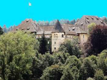
Zu Fuß
• Trail created by ÖAV – Sektion Klagenfurt – Karawanken-Vorberge – Feistritz i. R. – Matschacher Gupf-Runde.
Zu Fuß
• Trail created by ÖAV – Sektion Klagenfurt – Karawanken-Vorberge – Feistritz i. R. – Sinacher Gupf-Runde https://www.o...
Zu Fuß
• Trail created by ÖAV – Sektion Klagenfurt – Klagenfurter Becken – unteres Gurktal - Magdalensberg-Christofberg (Rundt...
Zu Fuß
• Trail created by Wörthersee Tourismus.
Zu Fuß
• Trail created by Wörthersee Tourismus.
Zu Fuß
• Symbol: W1
Zu Fuß
• Trail created by Gemeinde Keutschach. http://www.rundwanderweg.at.vc/ Symbol: gelbe Tafeln mit schwarzem Schrift 4-...
Zu Fuß
• Trail created by Stadtgarten Klagenfurt. http://wiki.openstreetmap.org/wiki/WikiProject_Austria/Wanderwege Symbol: ...
Zu Fuß
• Symbol: blau-weiss-blau
Zu Fuß
• Symbol: rot-weiss-rot 28a
Zu Fuß
• Symbol: rot-weiss-rot 2
Zu Fuß
Zu Fuß
Zu Fuß
Zu Fuß

Zu Fuß
• Trail created by Stadtgarten Klagenfurt. Symbol: rot-weiss-rot 12

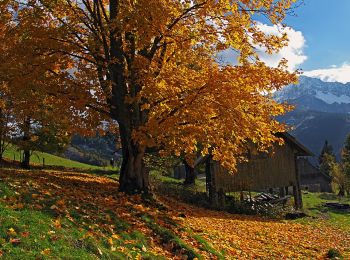
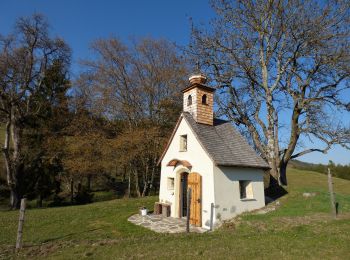
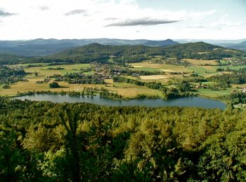
Wandern
20 Angezeigte Touren bei 20
Kostenlosegpshiking-Anwendung
 SityTrail
IGN / Geografische Institute
SityTrail World
Die Welt öffnet sich für Sie