


3,2 km | 4,5 km-effort
Bezirk St. Johann im Pongau : Entdecken Sie die besten Touren : 85 zu fuß und 15 wandern. Alle diese Touren, Trails, Routen und Outdoor-Aktivitäten sind in unseren SityTrail-Apps für Smartphones und Tablets verfügbar.
Zu Fuß


• Trail created by runnersfun.com. Symbol: Weiße Schilder mit gelbem Richtungspfeil und Beschriftung
Zu Fuß
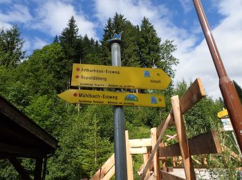
• Symbol: rot-weiss-rot 83
Zu Fuß
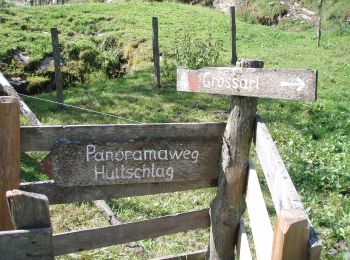
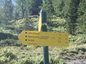
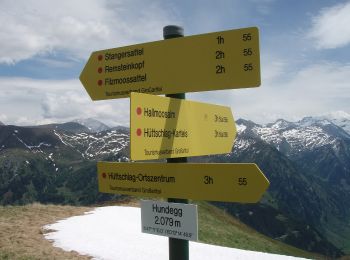
• Trail created by TVB Großarl. Symbol: rot-weiss-rot 42
Zu Fuß
• Trail created by TVB Großarl. Symbol: rot-weiss-rot 41
Zu Fuß
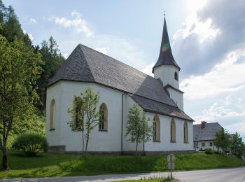
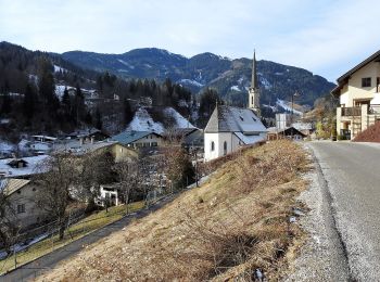
• Trail created by TVB Großarl. http://wiki.openstreetmap.org/wiki/WikiProject_Austria/Wanderwege Symbol: Chapell
Zu Fuß
• Trail created by TVB Großarl. http://wiki.openstreetmap.org/wiki/WikiProject_Austria/Wanderwege Symbol: rot-weiss-r...
Zu Fuß
• Trail created by TVB Großarl. http://wiki.openstreetmap.org/wiki/WikiProject_Austria/Wanderwege Symbol: rot-weiss-r...
Zu Fuß
• Trail created by TVB Großarltal. http://wiki.openstreetmap.org/wiki/WikiProject_Austria/Wanderwege Symbol: rot-weis...
Zu Fuß
• Trail created by TVB Großarltal. http://wiki.openstreetmap.org/wiki/WikiProject_Austria/Wanderwege Symbol: rot-weis...
Zu Fuß
• Trail created by TVB Großarltal. http://wiki.openstreetmap.org/wiki/WikiProject_Austria/Wanderwege Symbol: rot-weis...
Zu Fuß
• Trail created by TVB Großarltal. http://wiki.openstreetmap.org/wiki/WikiProject_Austria/Wanderwege Symbol: rot-weis...
Zu Fuß
• Trail created by TVB Großarltal. http://wiki.openstreetmap.org/wiki/WikiProject_Austria/Wanderwege Symbol: rot-weis...
Zu Fuß
• Trail created by TVB Hochkönig. Symbol: rot-weiss-rot
Zu Fuß
• Trail created by TVB Hochkönig. Symbol: rot-weiss-rot
Zu Fuß
• Trail created by TVB Hochkönig. Symbol: rot-weiss-rot
Zu Fuß
• Trail created by Nationalpark Hohe Tauern.
Zu Fuß
• Trail created by Nationalpark Hohe Tauern.
Zu Fuß
• Trail created by Nationalpark Hohe Tauern.
Zu Fuß
• Trail created by Nationalpark Hohe Tauern.
Zu Fuß
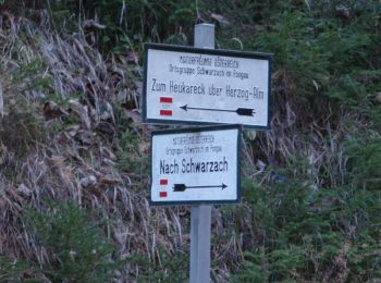
• Trail created by TVB St. Veit - Schwarzach. Symbol: rot-weiss-rot 43
20 Angezeigte Touren bei 100
Kostenlosegpshiking-Anwendung
 SityTrail
IGN / Geografische Institute
SityTrail World
Die Welt öffnet sich für Sie