


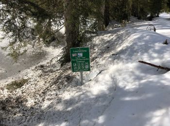
3,1 km | 4,9 km-effort
Salzburg : Entdecken Sie die besten Touren : 216 zu fuß und 44 wandern. Alle diese Touren, Trails, Routen und Outdoor-Aktivitäten sind in unseren SityTrail-Apps für Smartphones und Tablets verfügbar.
Zu Fuß


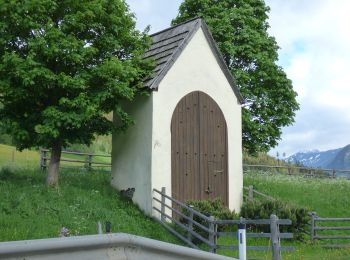
• Trail created by Zell am See, Kaprun.
Zu Fuß
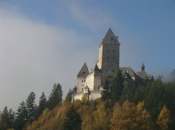
• Trail created by Zell am See.
Zu Fuß
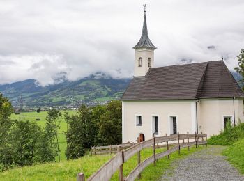
• Trail created by TVB Grödig. Symbol: Weißer Strich auf rotem Hintergrund
Zu Fuß
• Trail created by TVB Grödig. Symbol: Weißer Strich auf rotem Hintergrund
Zu Fuß
• Trail created by Bewegungsarena Anif. Symbol: Roter Pfeil auf weißem Rechteck
Zu Fuß
• Trail created by TVB Mauterndorf. Symbol: rot-weiß-rot 39
Zu Fuß
• Trail created by TVB Thomatal. Symbol: rot-weiß-rot 69
Zu Fuß
• Trail created by TVB Unternberg. Symbol: rot-weiß-rot 87

Zu Fuß
• Trail created by TVB Unternberg. Symbol: rot-weiß-rot 86
Zu Fuß
• Trail created by TVB Unternberg. Symbol: rot-weiß-rot 85
Zu Fuß
• Trail created by TVB Mauterndorf. Symbol: rot-weiß-rot 91
Zu Fuß
• Trail created by TVB Mariapfarr. Symbol: rot-weiß-rot 37
Zu Fuß
• Symbol: violetter Pfeil
Zu Fuß
• Symbol: oranger Pfeil
Zu Fuß
• Symbol: roter Pfeil
Zu Fuß
• Symbol: dunkelblauer Pfeil
Zu Fuß
• Symbol: hellblauer Pfeil
Zu Fuß
• Trail created by Tourismusverband Strobl.
Zu Fuß
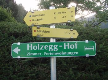
• Symbol: Gelbe Wegweisschilder mit Text und Zahl
Zu Fuß
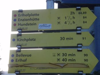
• Symbol: Gelbe Wegweisschilder mit Text und Zahl
20 Angezeigte Touren bei 260
Kostenlosegpshiking-Anwendung
 SityTrail
IGN / Geografische Institute
SityTrail World
Die Welt öffnet sich für Sie