


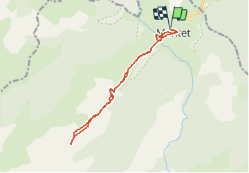

19,4 km | 34 km-effort

Gebruiker


Gratisgps-wandelapplicatie
 SityTrail
IGN / Geografische instituten
SityTrail World
De wereld gaat voor u open
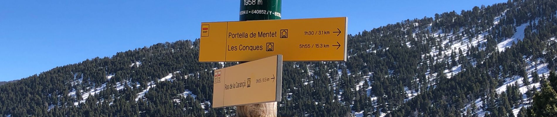
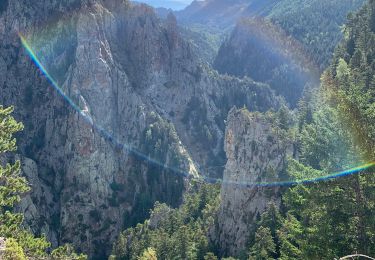
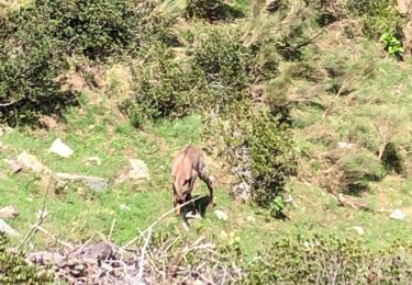
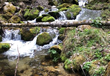
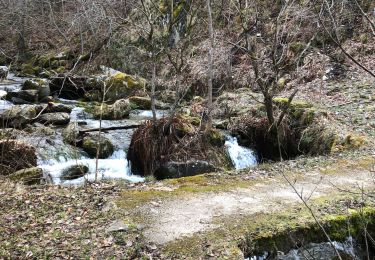
Tocht Stappen van 8,9 km beschikbaar op Occitanië, Pyrénées-Orientales, Mantet. Deze tocht wordt voorgesteld door andre66.
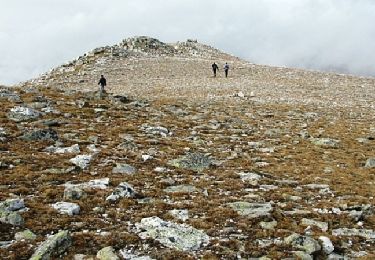
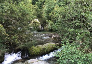
MANTET au refuge Alemany AR


Stappen
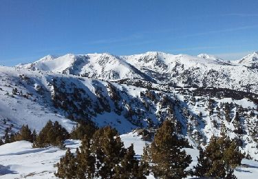
Sneeuwschoenen
Stappen
Stappen
Stappen
Stappen
Stappen
Stappen

Stappen